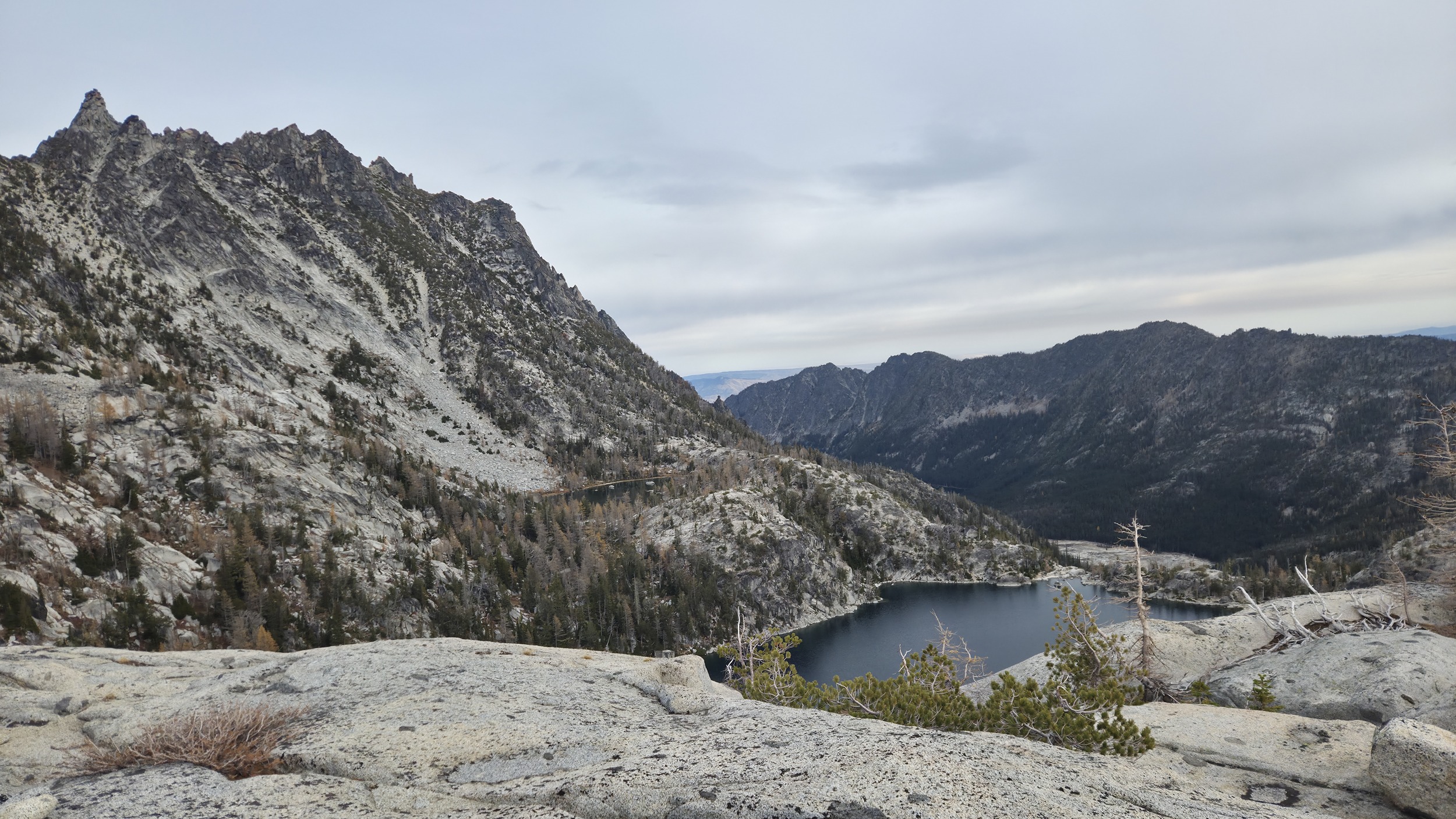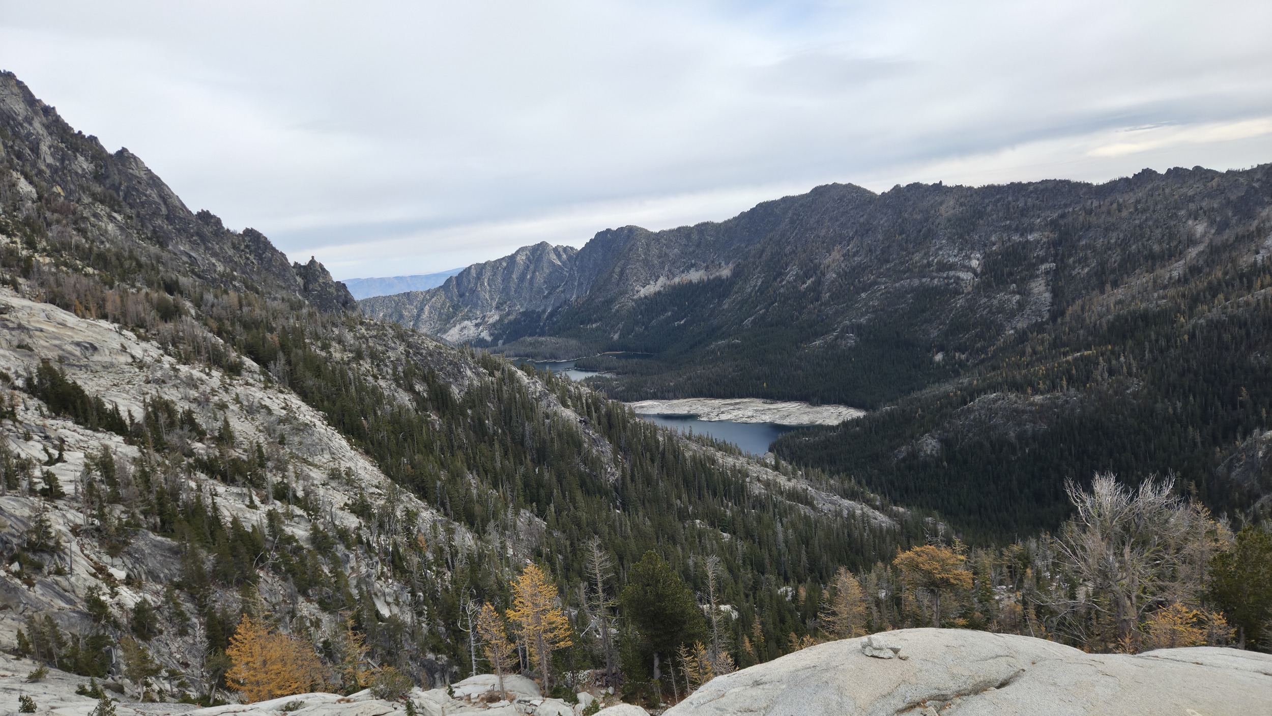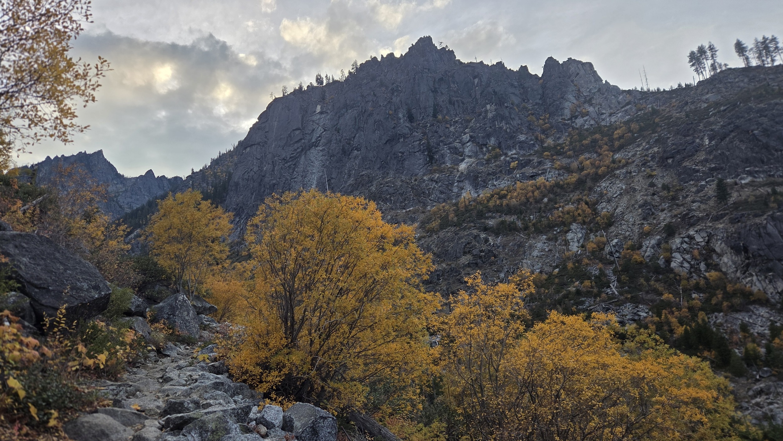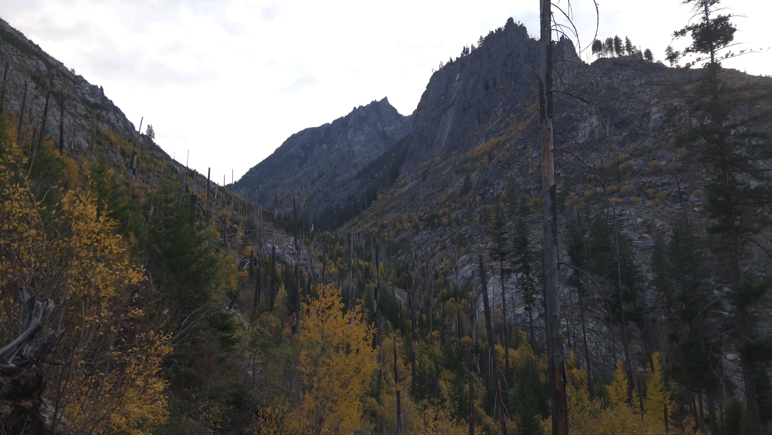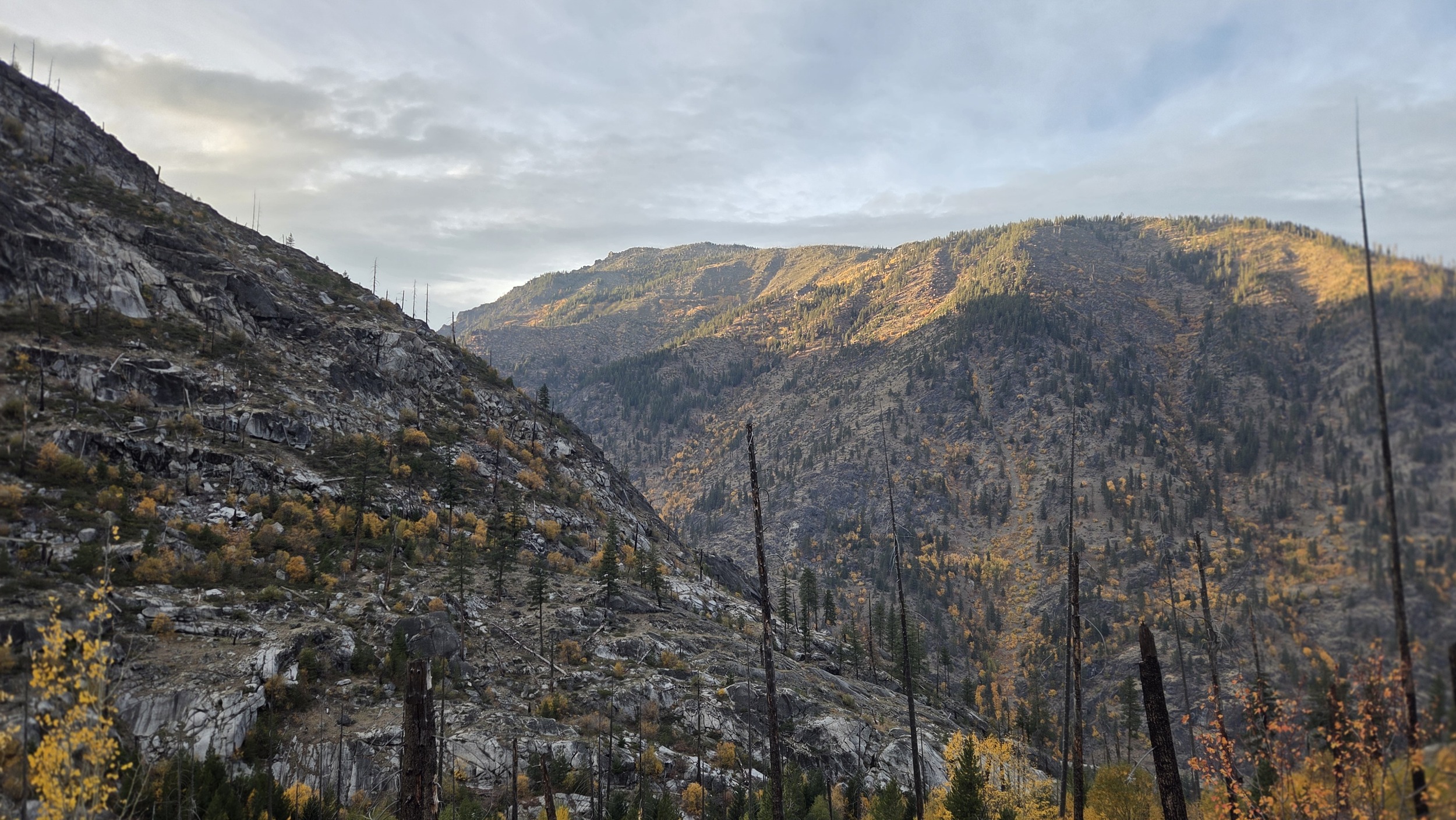
It's been a beautiful and long Fall so far here in Leavenworth. Normally I'd be climbing as much as possible but unfortunately I am dealing with a bit of a shoulder overuse injury so instead have been finding other ways to adventure around town. It was about to rain, and snow up at higher elevations, and I realized this late October weekend might be my last opportunity to get up into the enchantments before it gets it's winter cover of snow. I also wanted to check out the Hook Creek drainage as I'd heard it had some really cool bouldering and some lesser repeated alpine climbs and wanted to take a look for myself.
Up Hook Creek
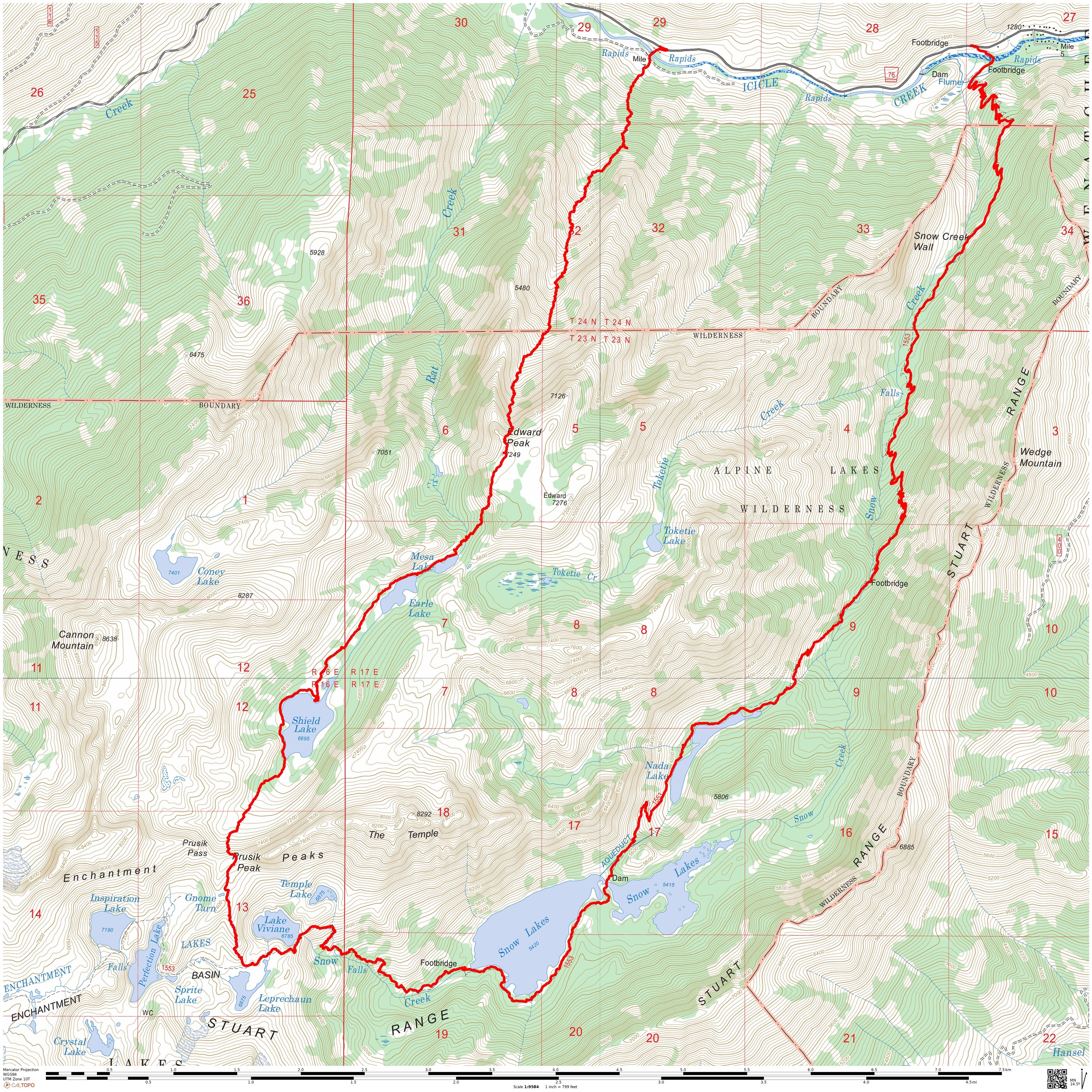
Hook Creek follows more or less a direct straight line from Icicle Creek up into the Enchantments Core Zone. I was surprised to find very little bush whacking but it is steep, it's about 5500ft of vertical gain in 2.7 miles to reach the Edwards Mesa making it almost exactly like doing 3 Aasgard Passes in a row.
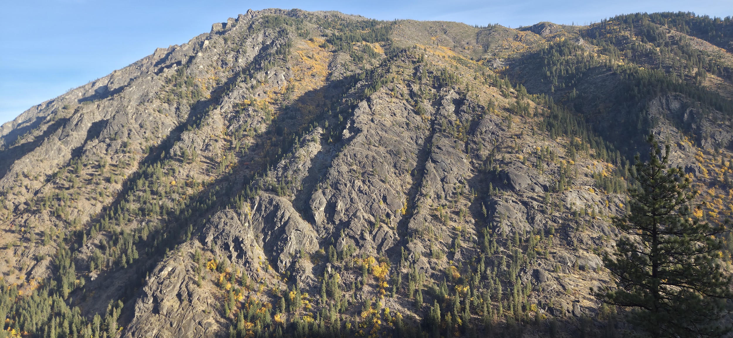
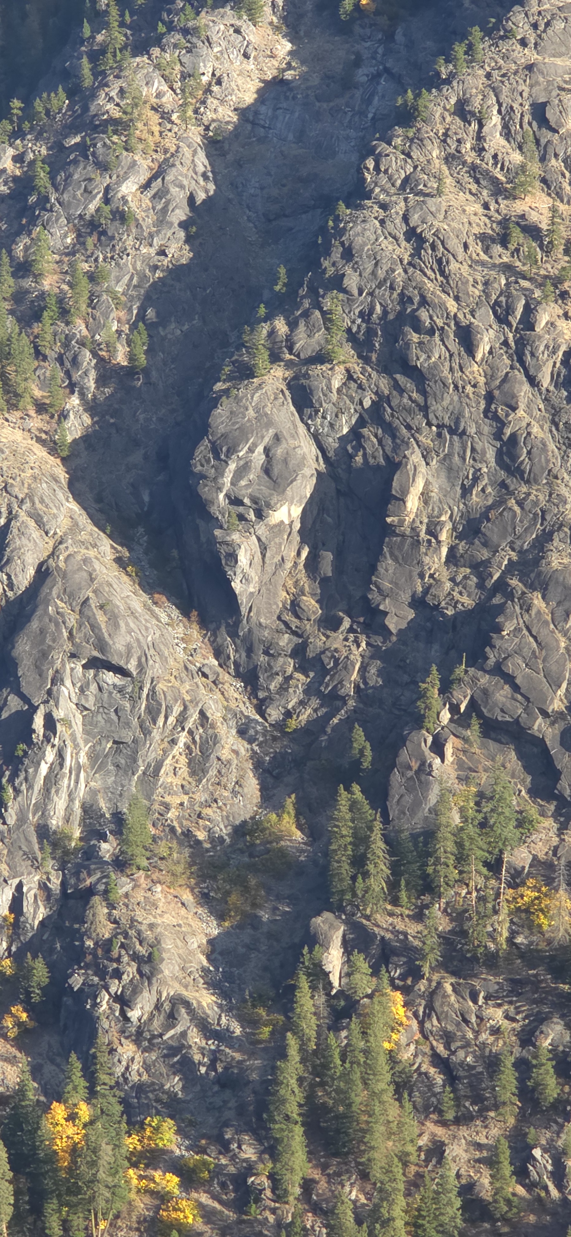
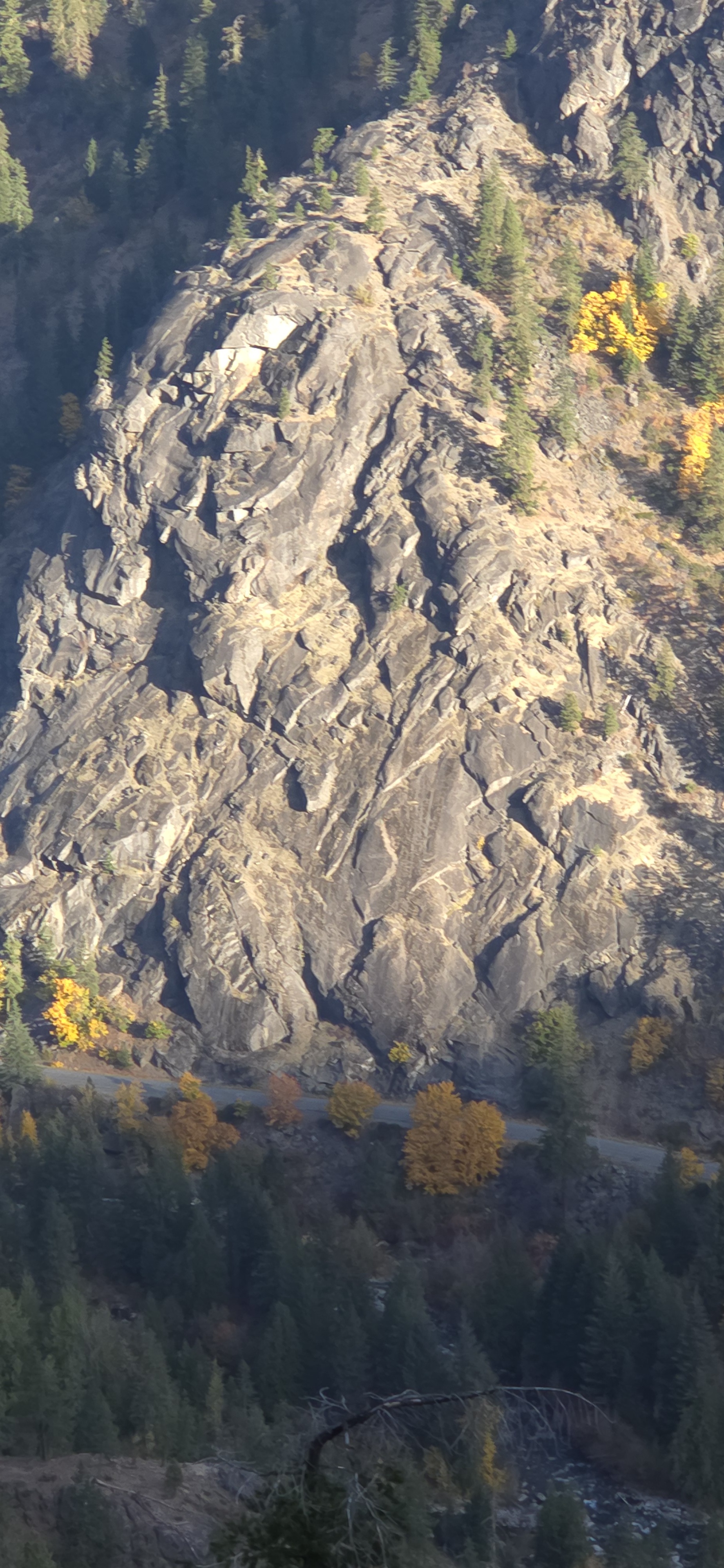
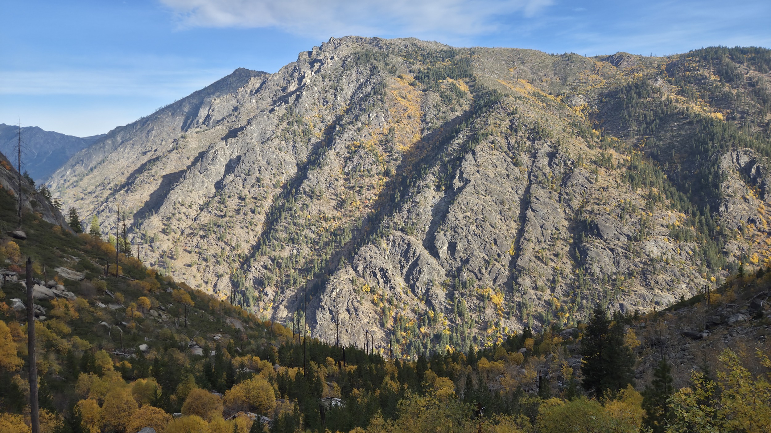
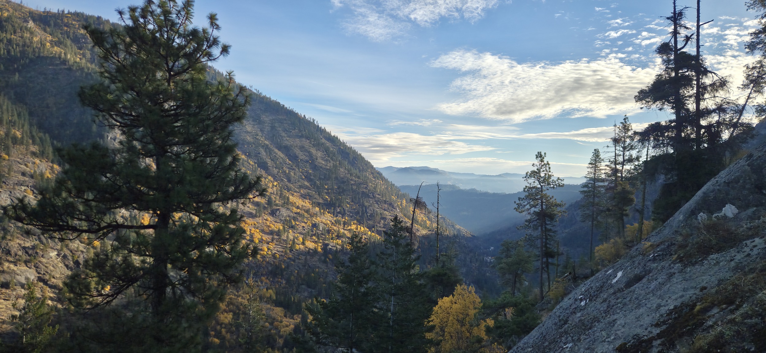
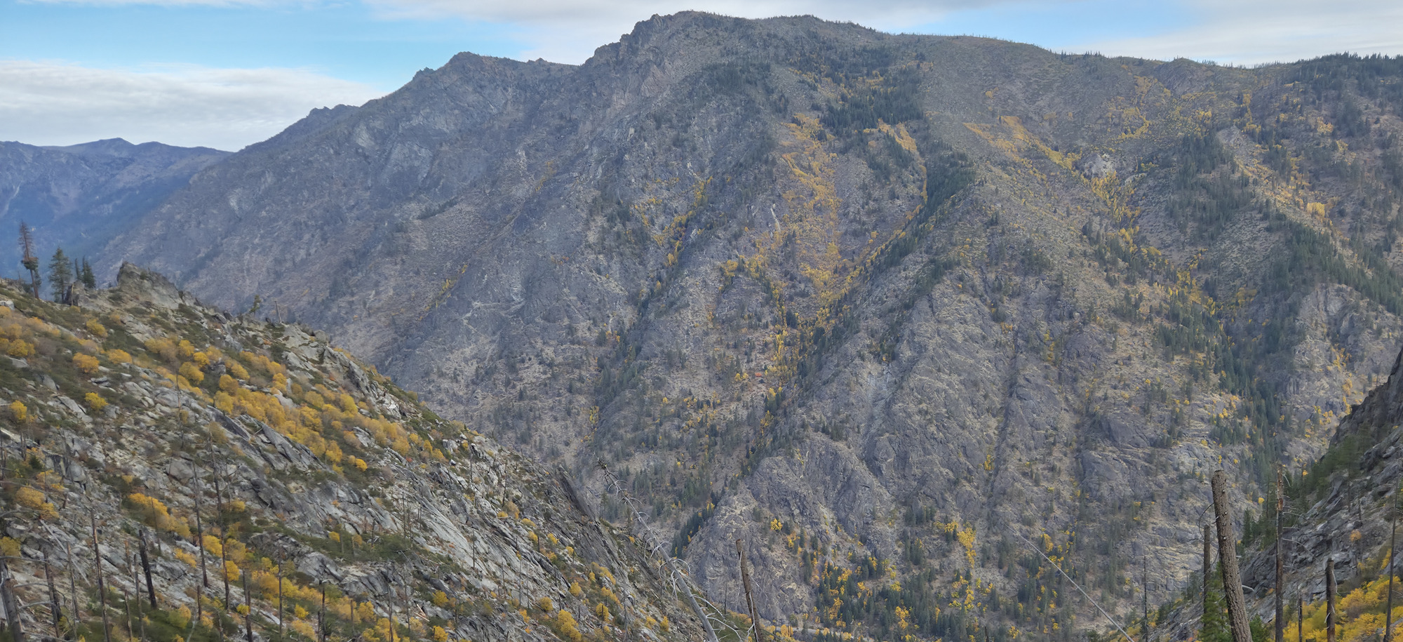
Beautiful views looking back at Icicle Ridge. Icicle Buttress looks so small from here! Great view of the Warrior Wall which I'd spent the better part of a summer working a new line with the view looking at Hook Creek.
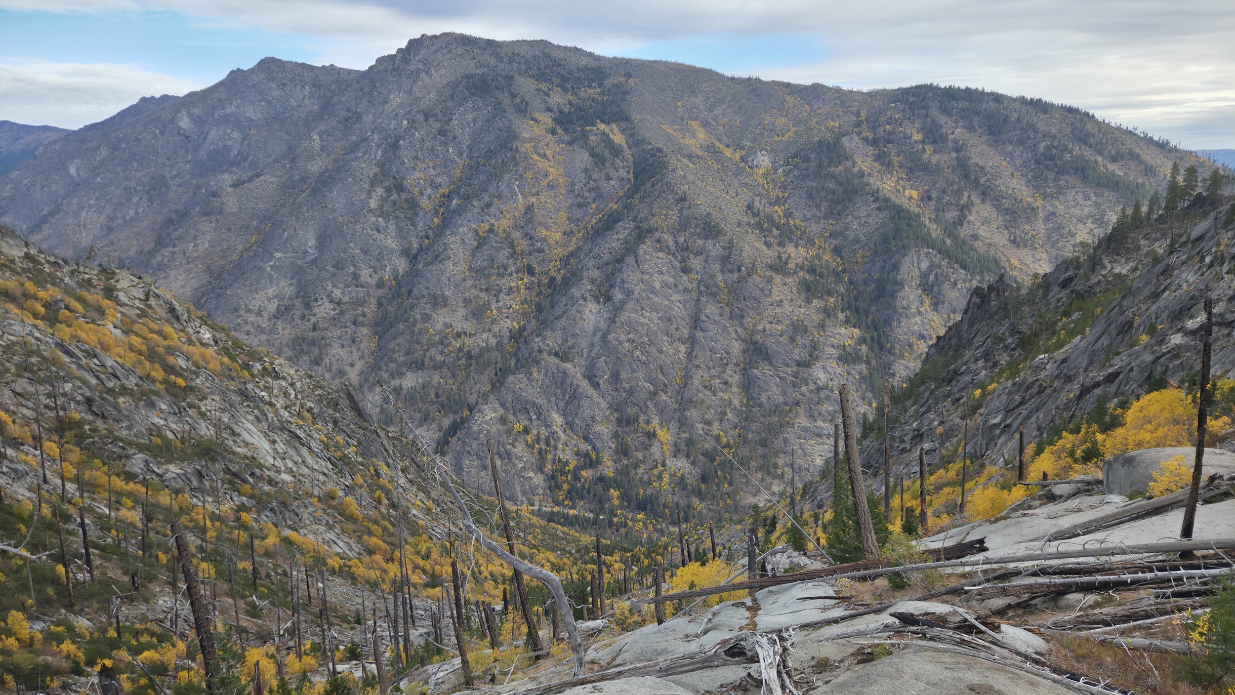
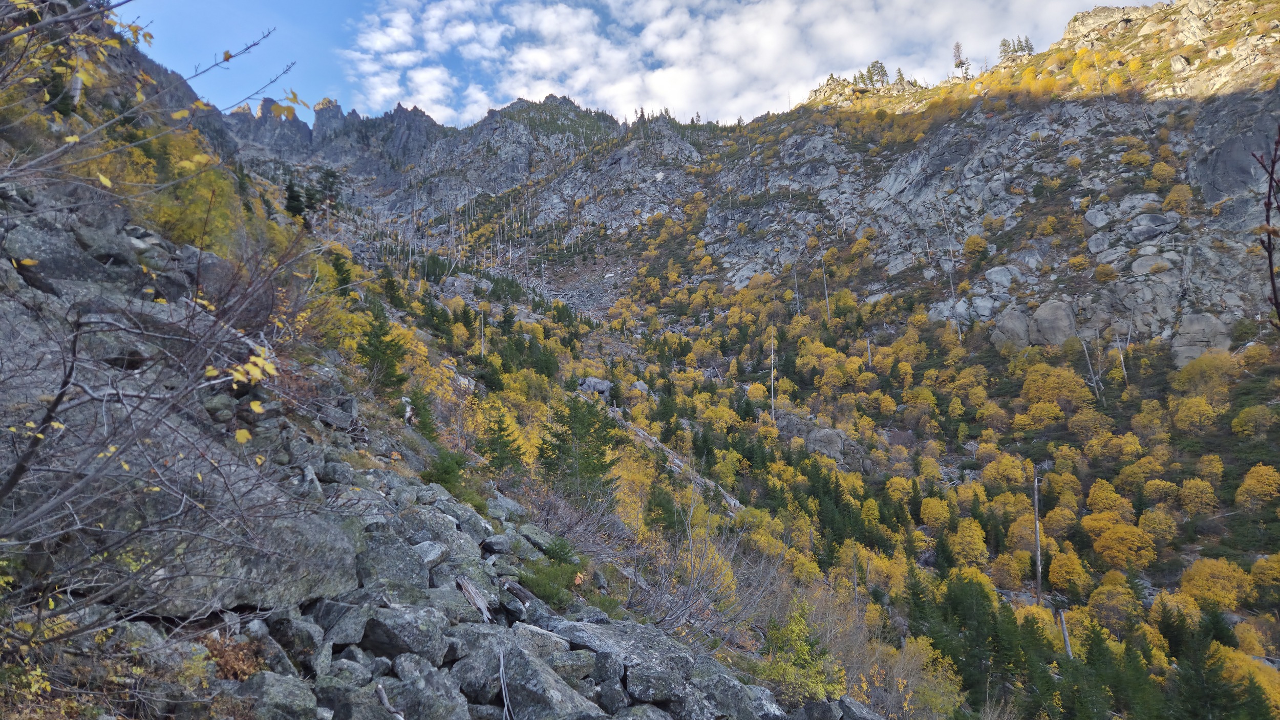
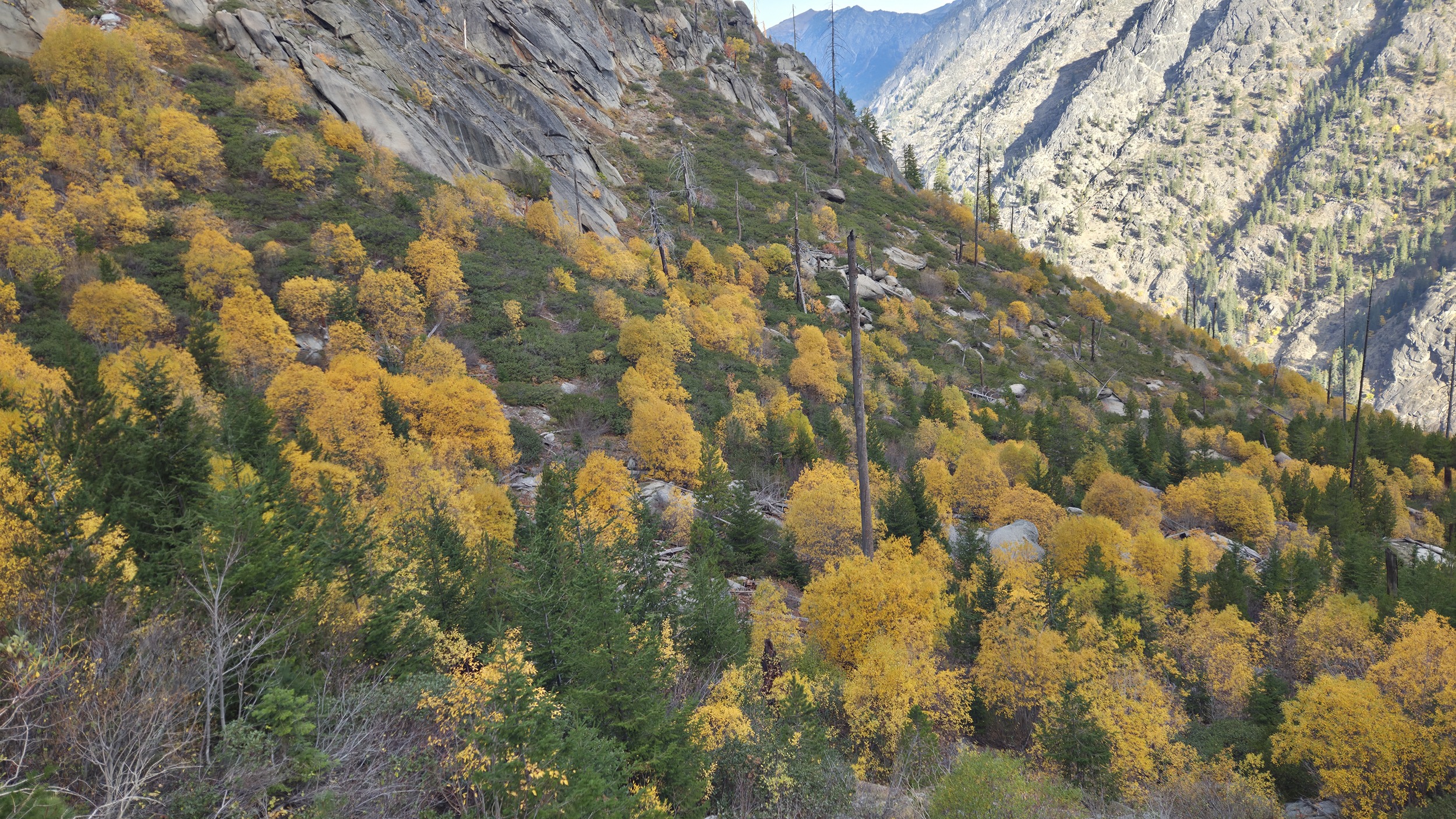
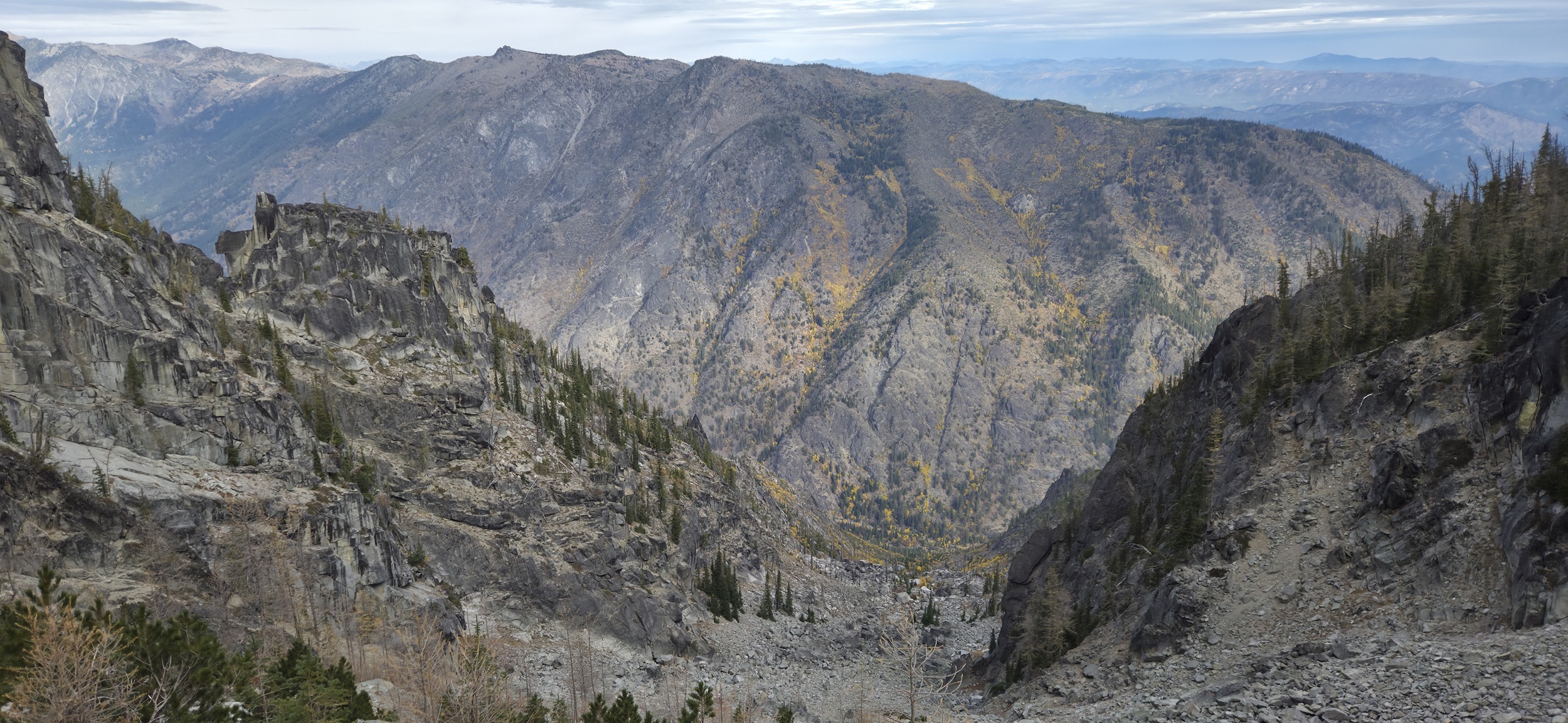
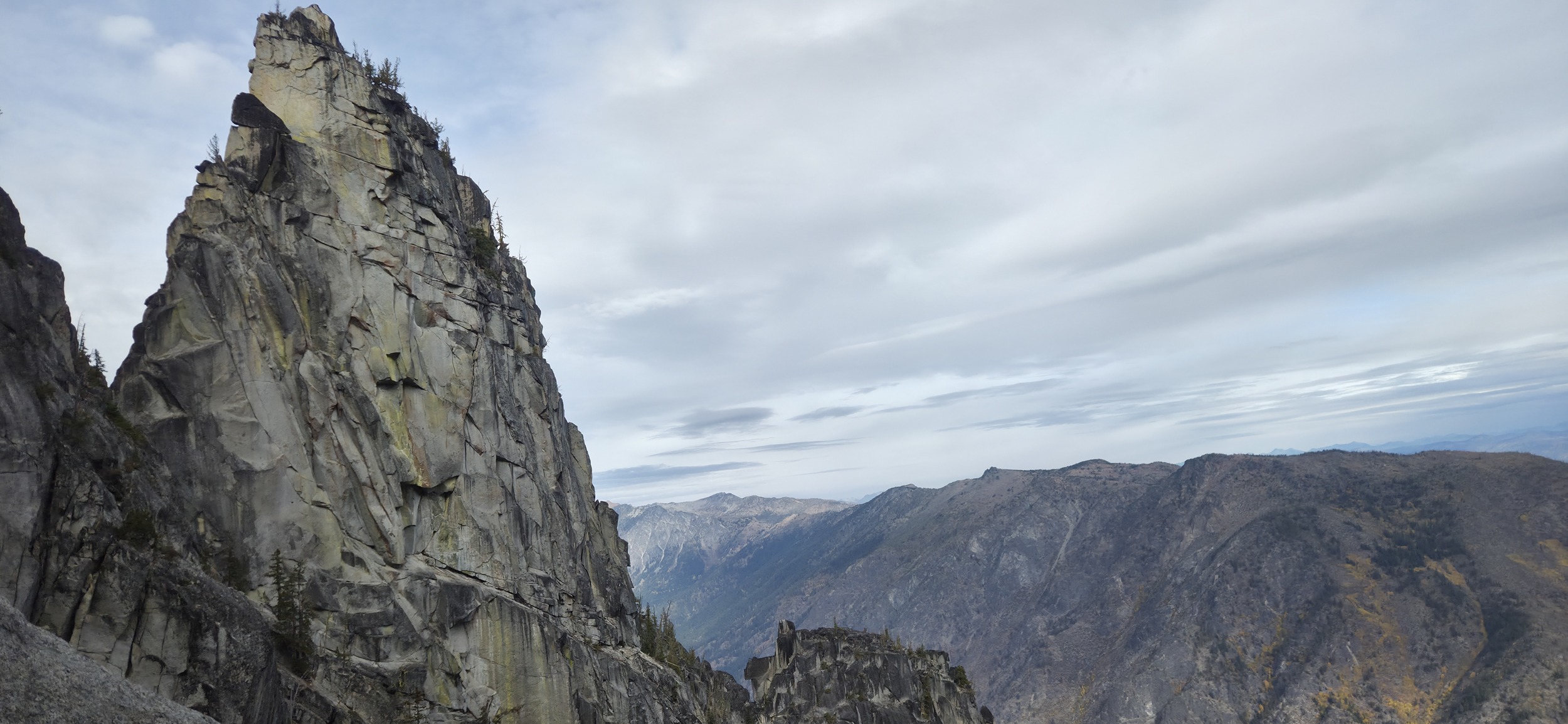
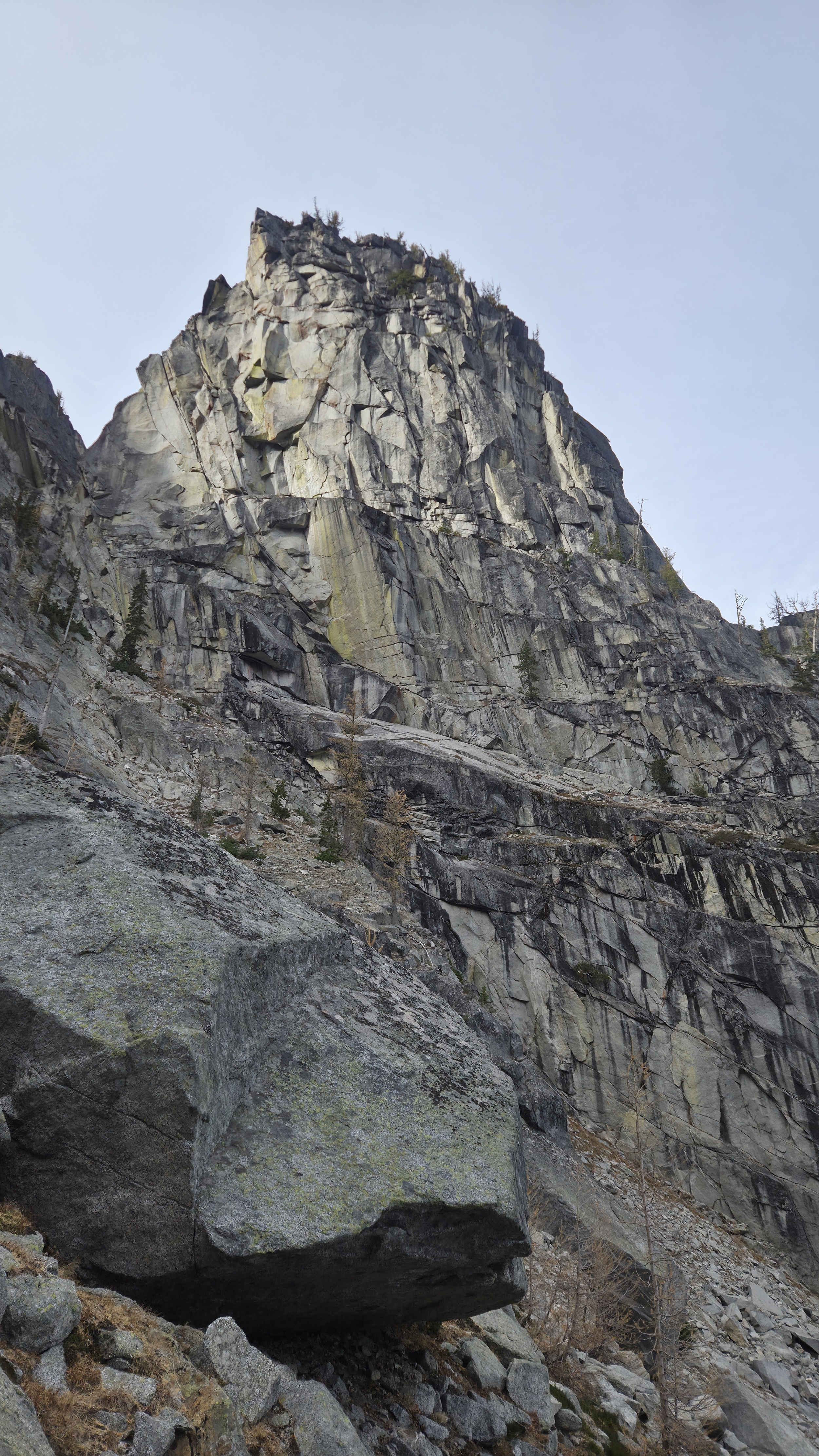
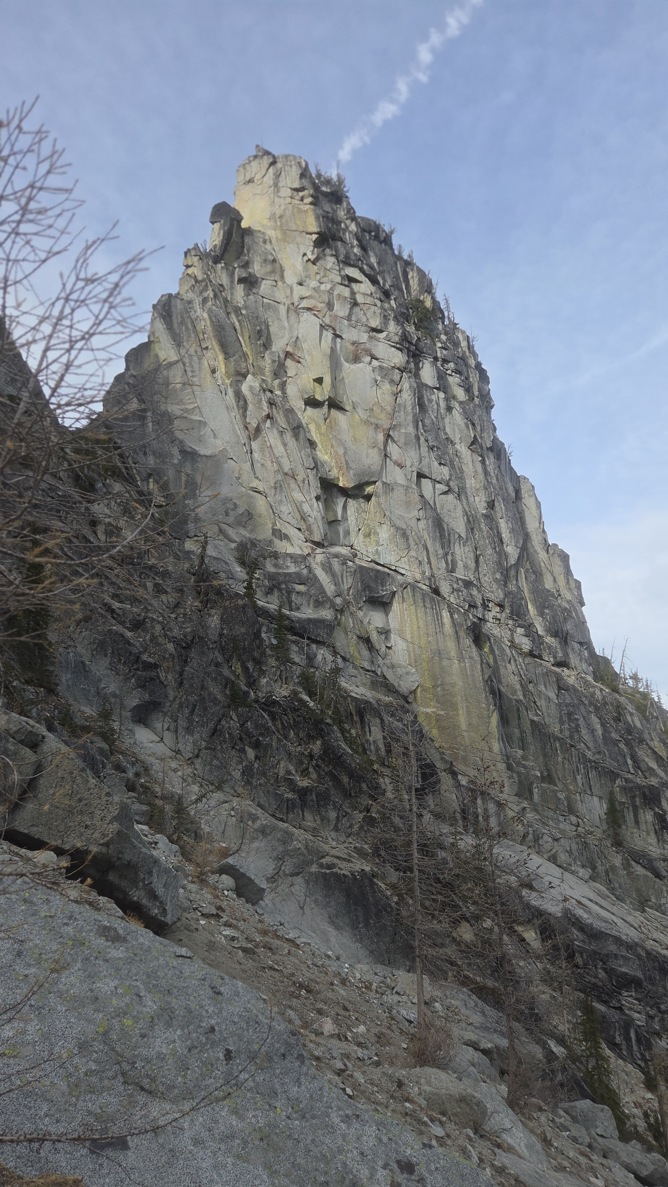
Remarkable views and colors all around as I made my way up the drainage. It was a solid trail up to Yellow Jacket Tower and then off trail after that with pretty easy travel but some thought needed to pick the right path.
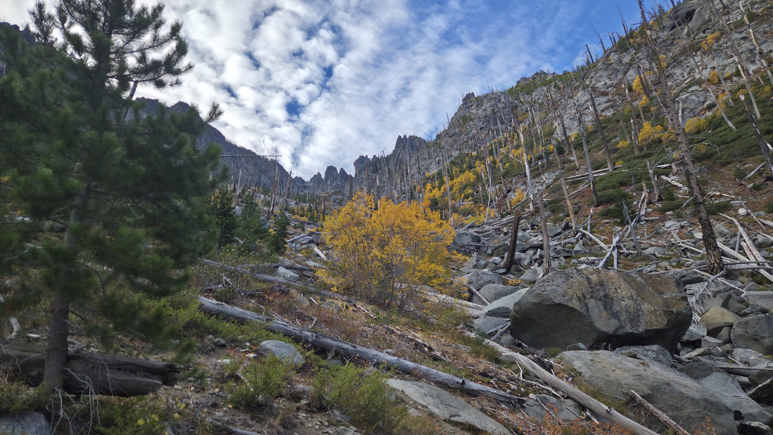
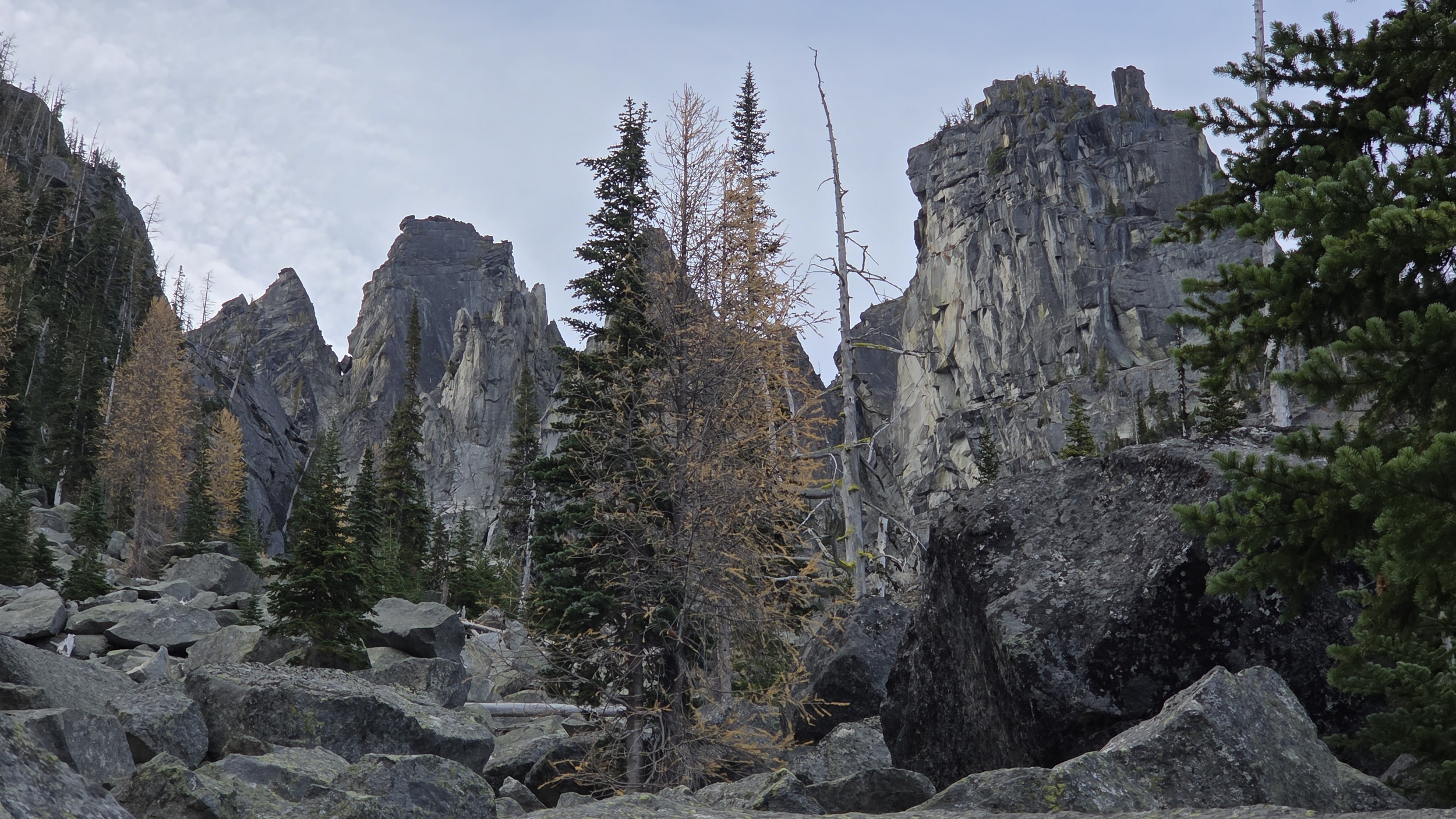
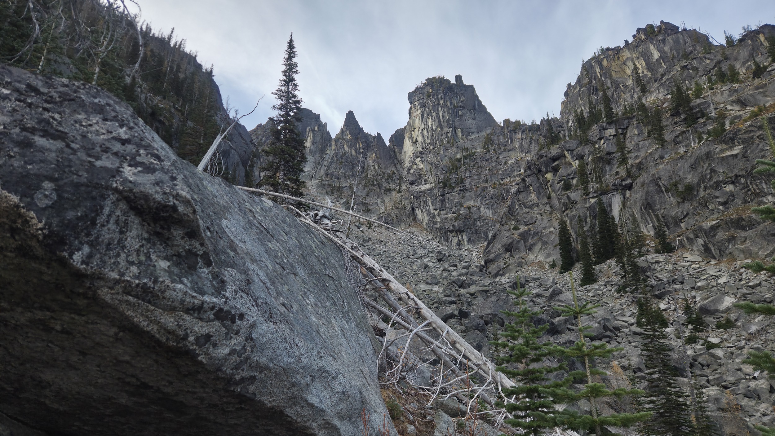
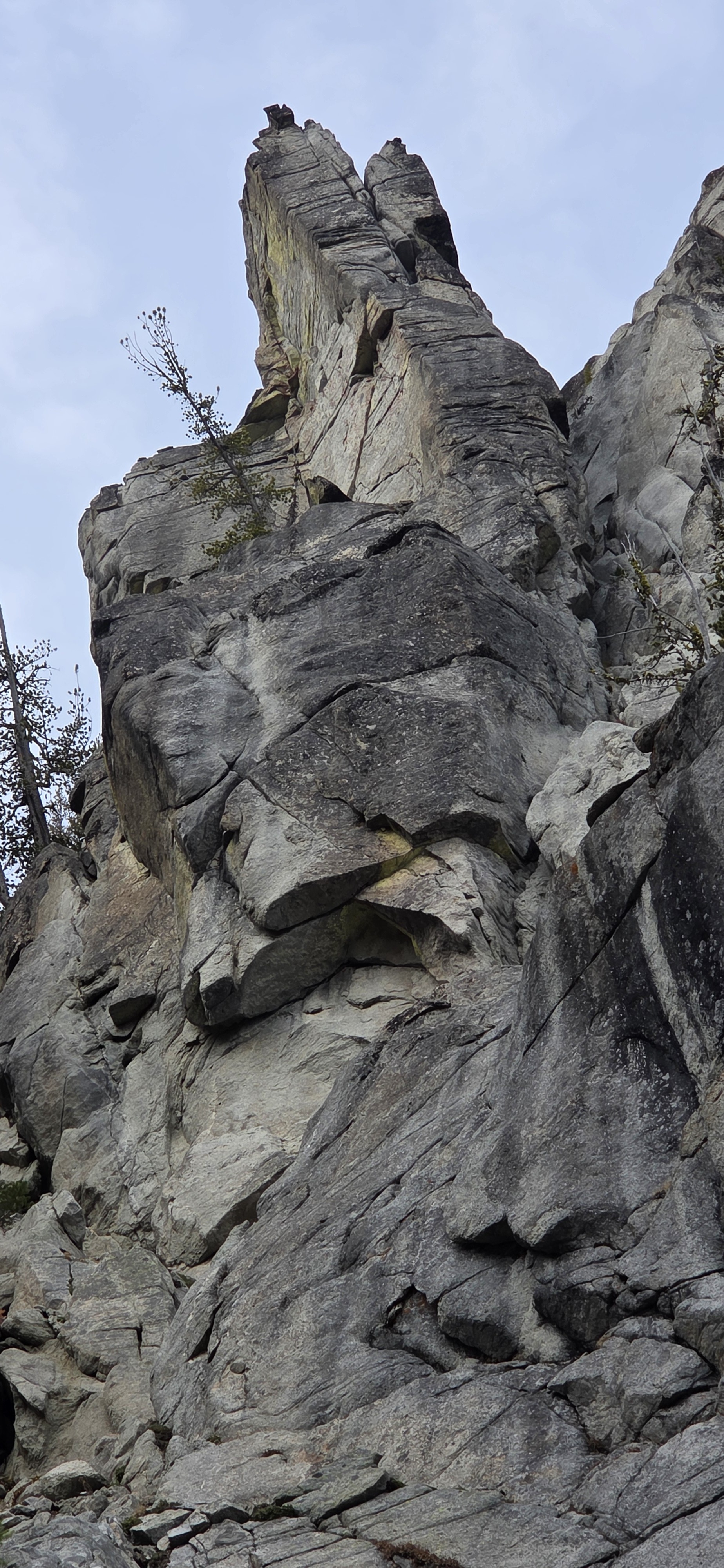
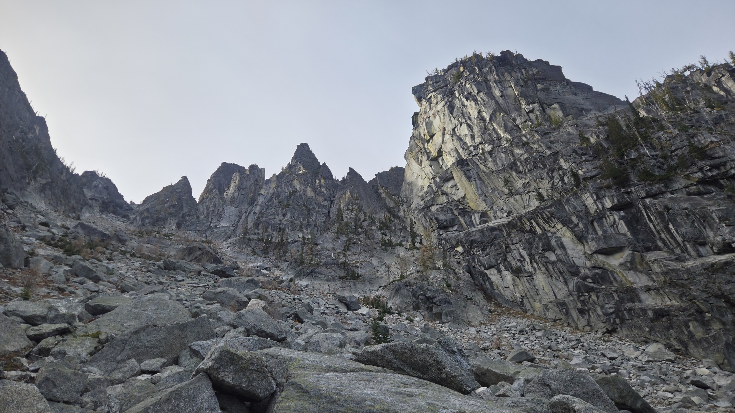
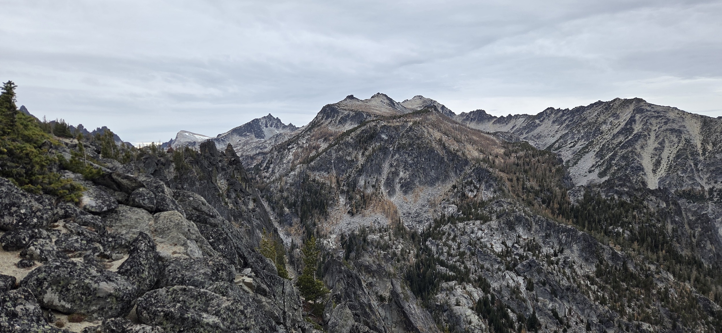
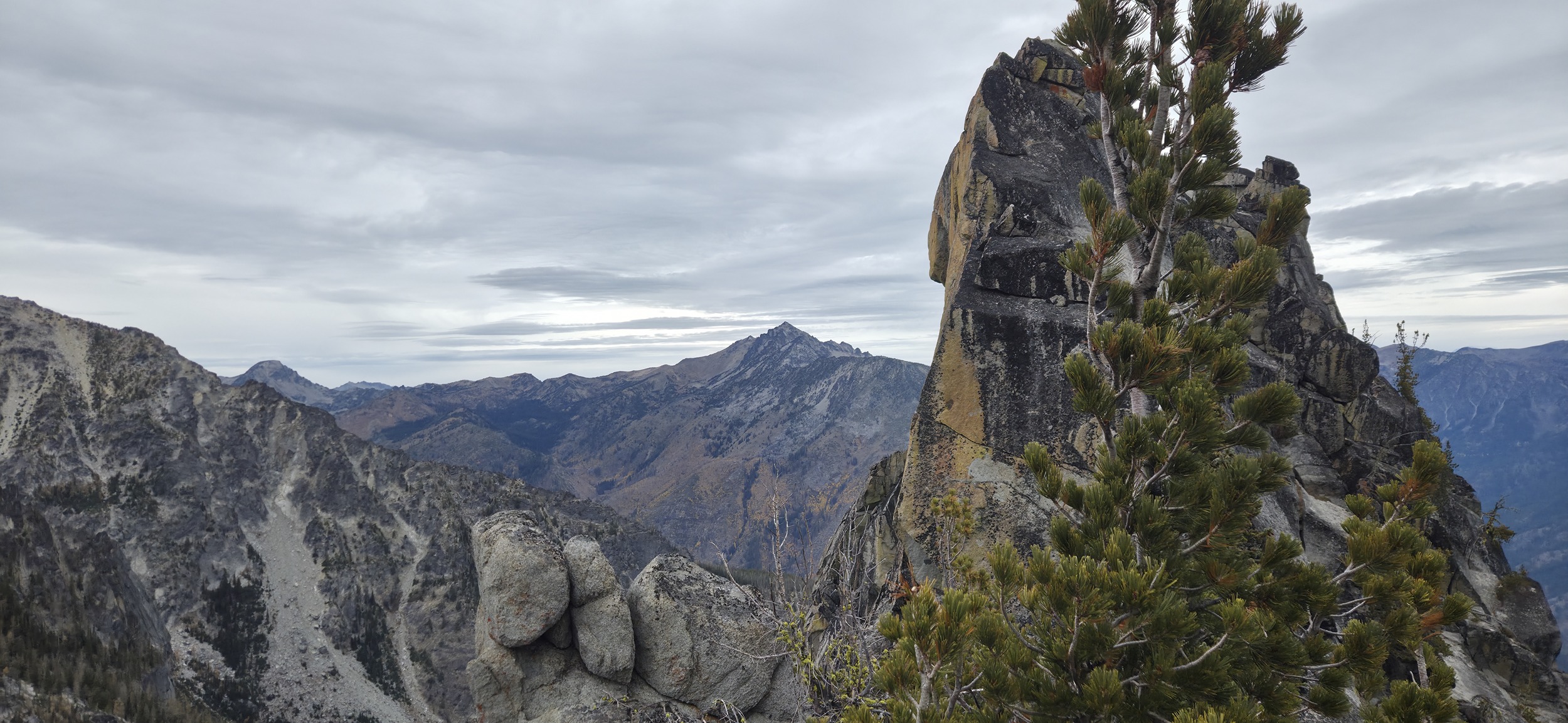
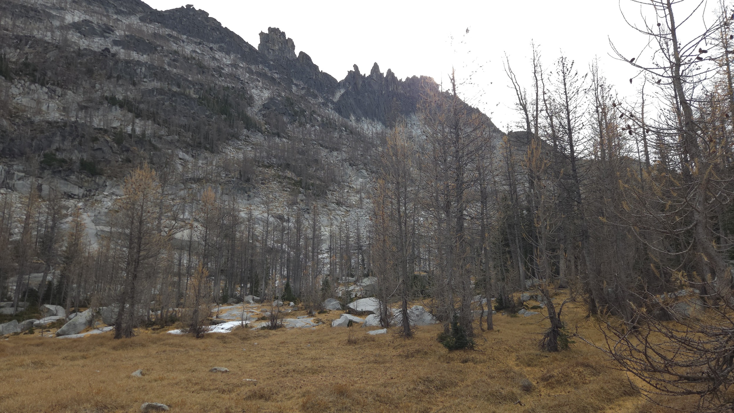
Starting to get good views of the Blockhouse, The Shrew, Edwards Peak, and the other names spires that form the top of the ridge above the drainage.
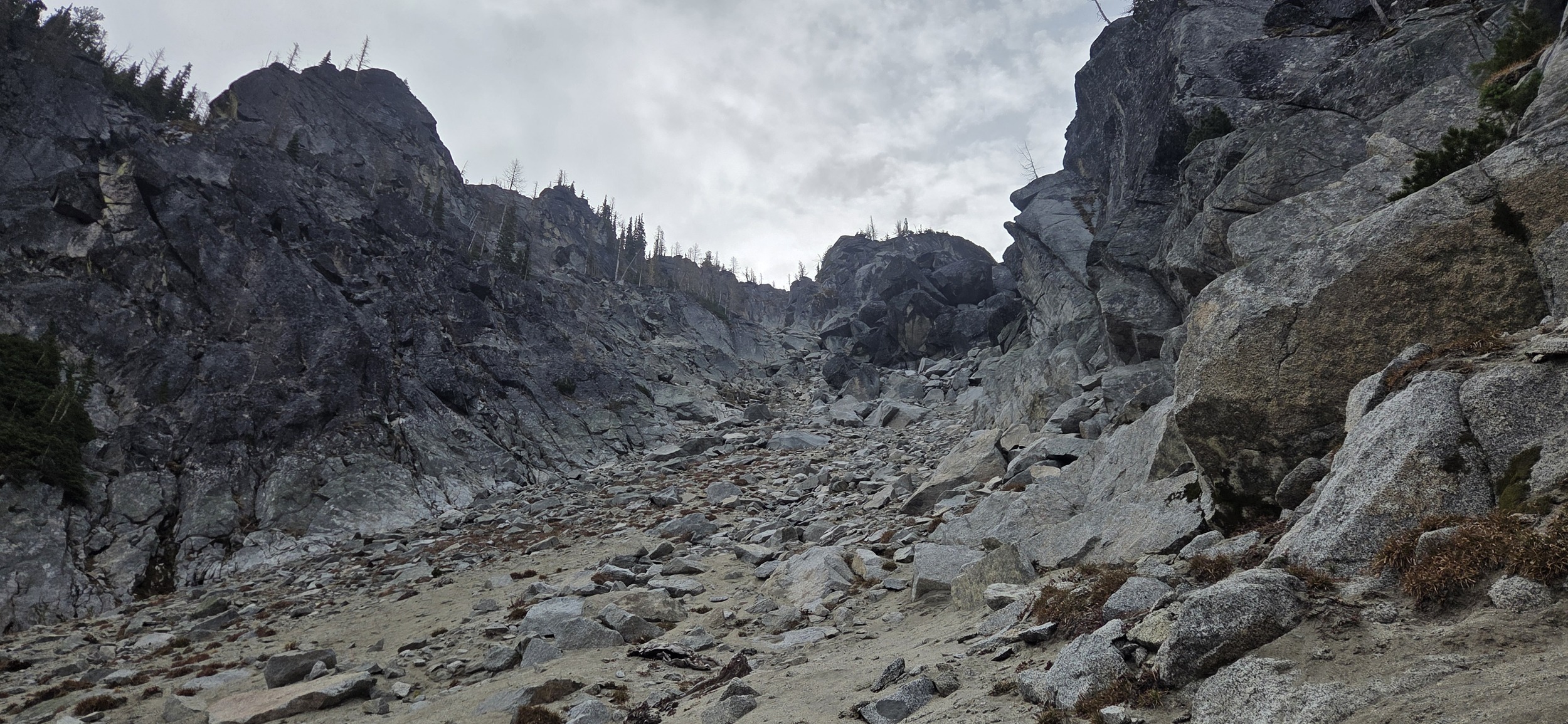
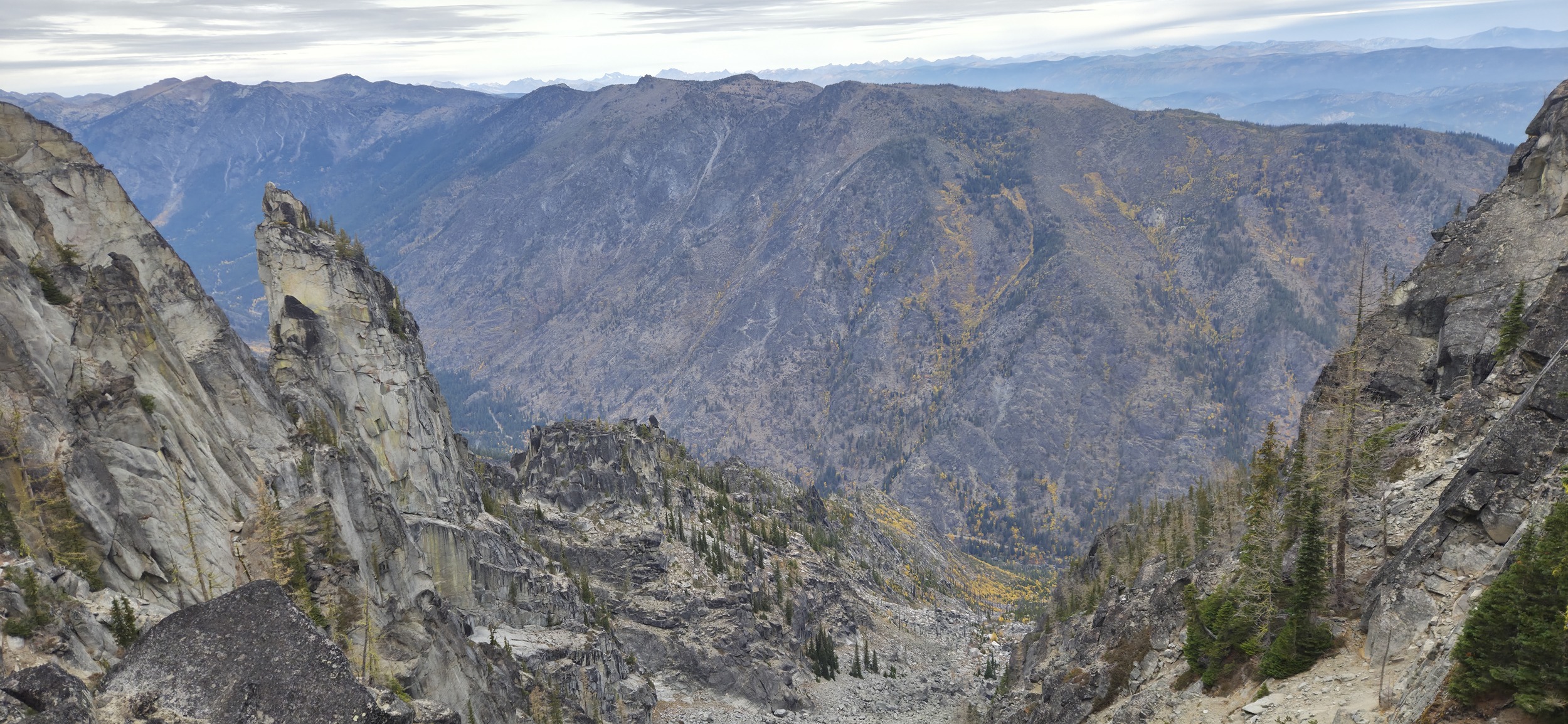
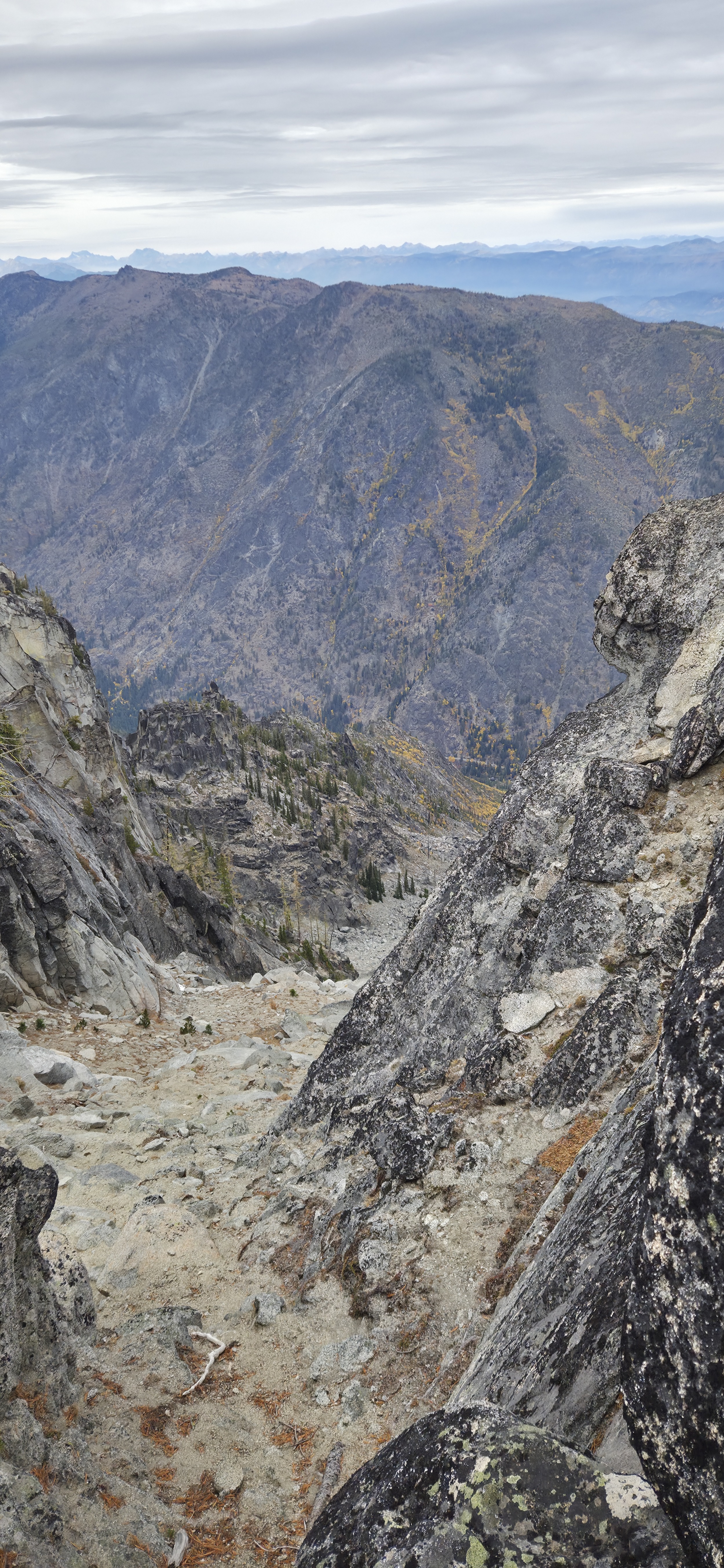
Top of the drainage gets steep and sandy but it's not too bad (left). Cool view over Icicle Ridge while still having a clear view of Icicle Road where I began the day the whole time until going up and over the pass onto Edwards Mesa.
Edwards Mesa
I didn't really have a plan for the day, the days were short and after grabbing a breakfast sandwich at Dan's it wasn't until around 8:30 that I left the Alphabet parking lot towards Hook Creek which gave me about 10 hours of daylight before sunset. The original plan was just to see how Hook Creek went and possibly just make it an out and back but it had been really steep and as beautiful as it was I really didn't want to hike it again that day so when I got to the top, about 3 hours and change into the hike, I decided to just try and go through. I figured worse case I did some hiking in the dark but I thought it would be pretty cool to see a new part if this wilderness that I'd never been to.
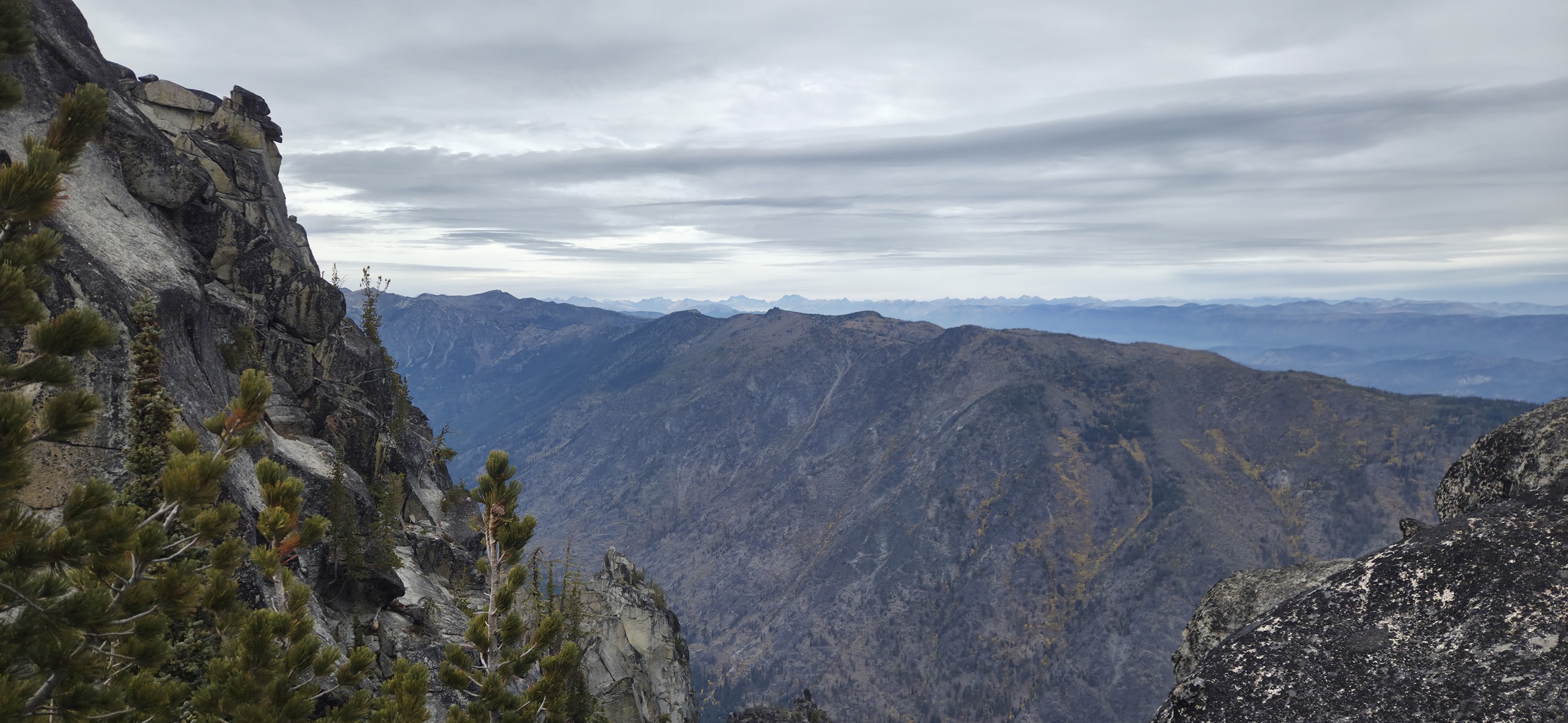
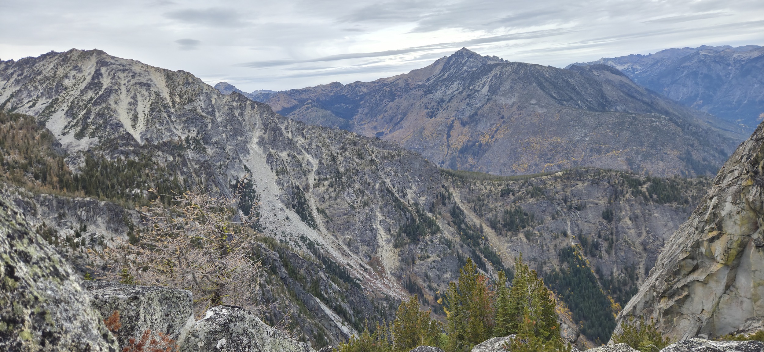
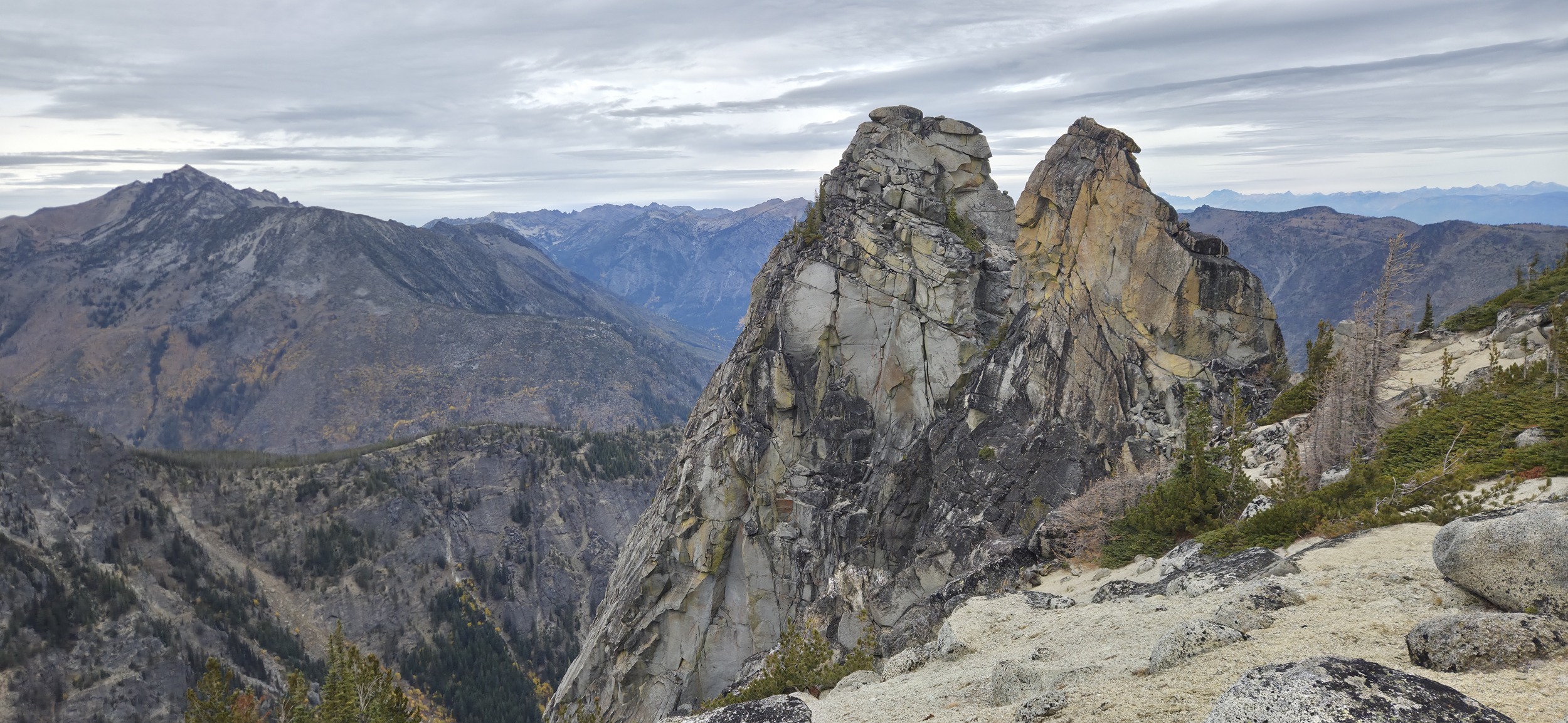
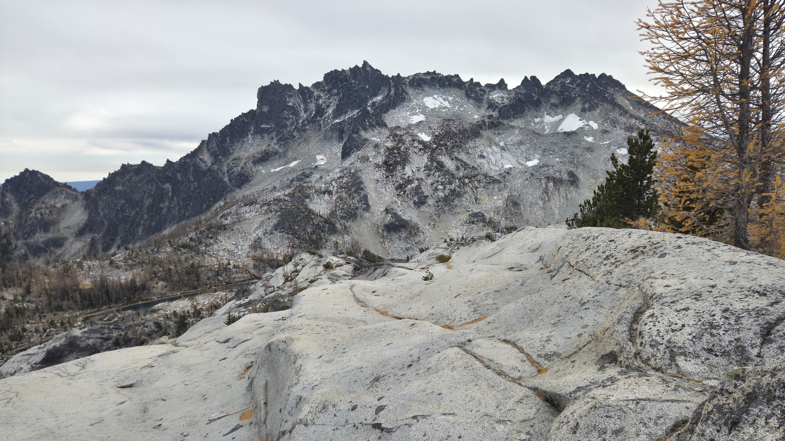
Great views of Mt Cashmere and Cannon Mountain looking over the Rat Creek drainage that parallels the one I had just come up.
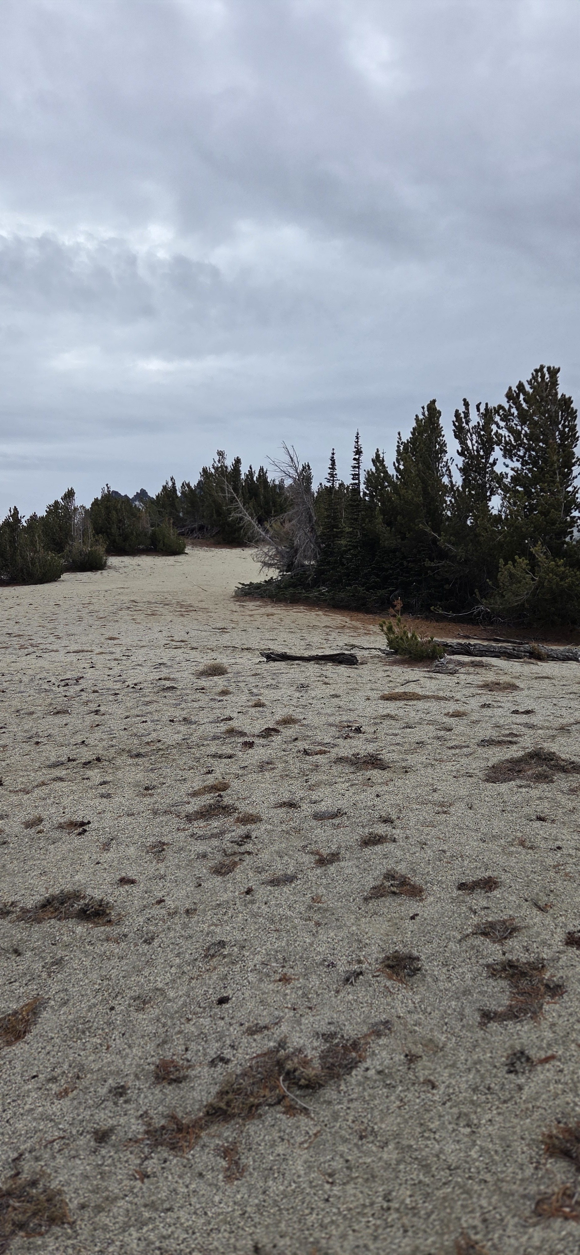
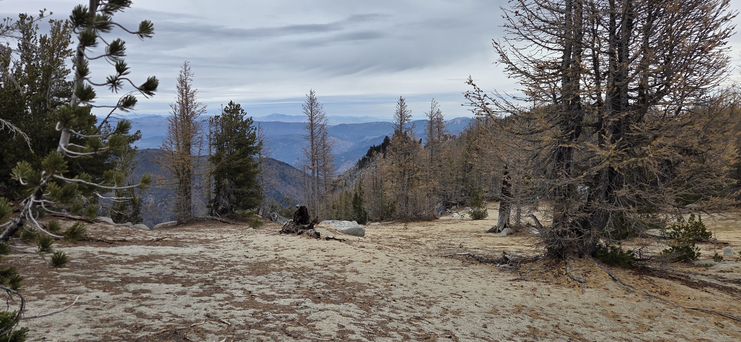
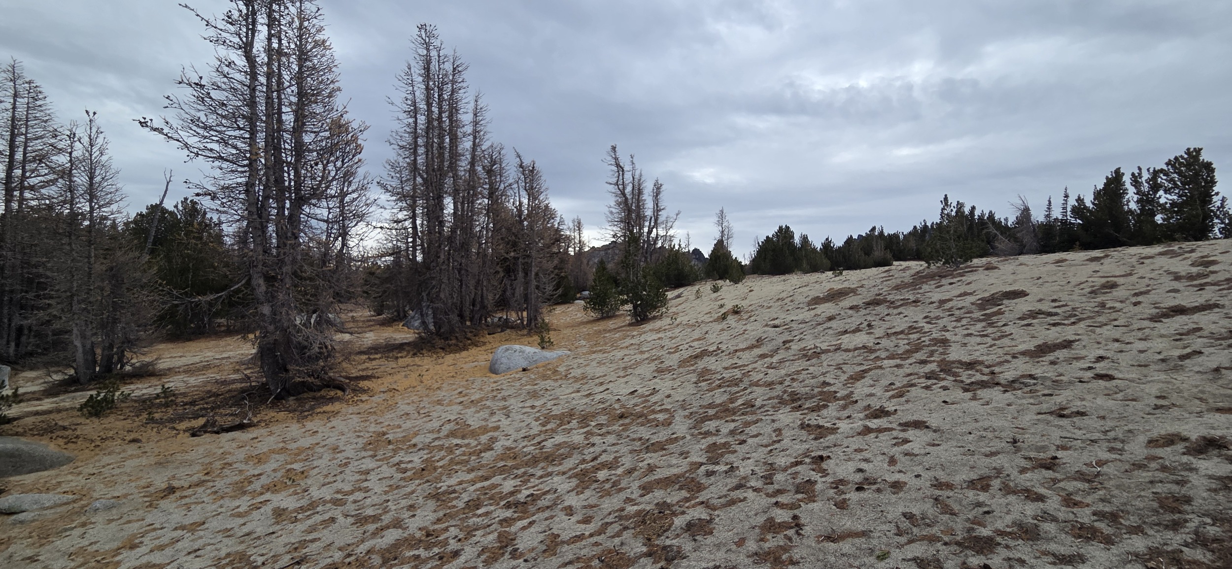
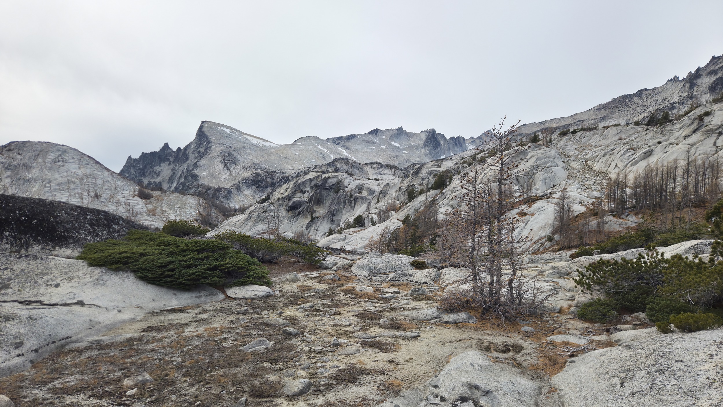
Was surprised to find a beautiful sandy plateau at Edwards Mesa. Not the normal slippery granite chunky sand but it was much finer and comfortable to walk on like normal beach sand.
Looking over Cannon Mountain to Mt Cashmere (left). The Duolith (center). And looking left over to the first view of Temple (right).
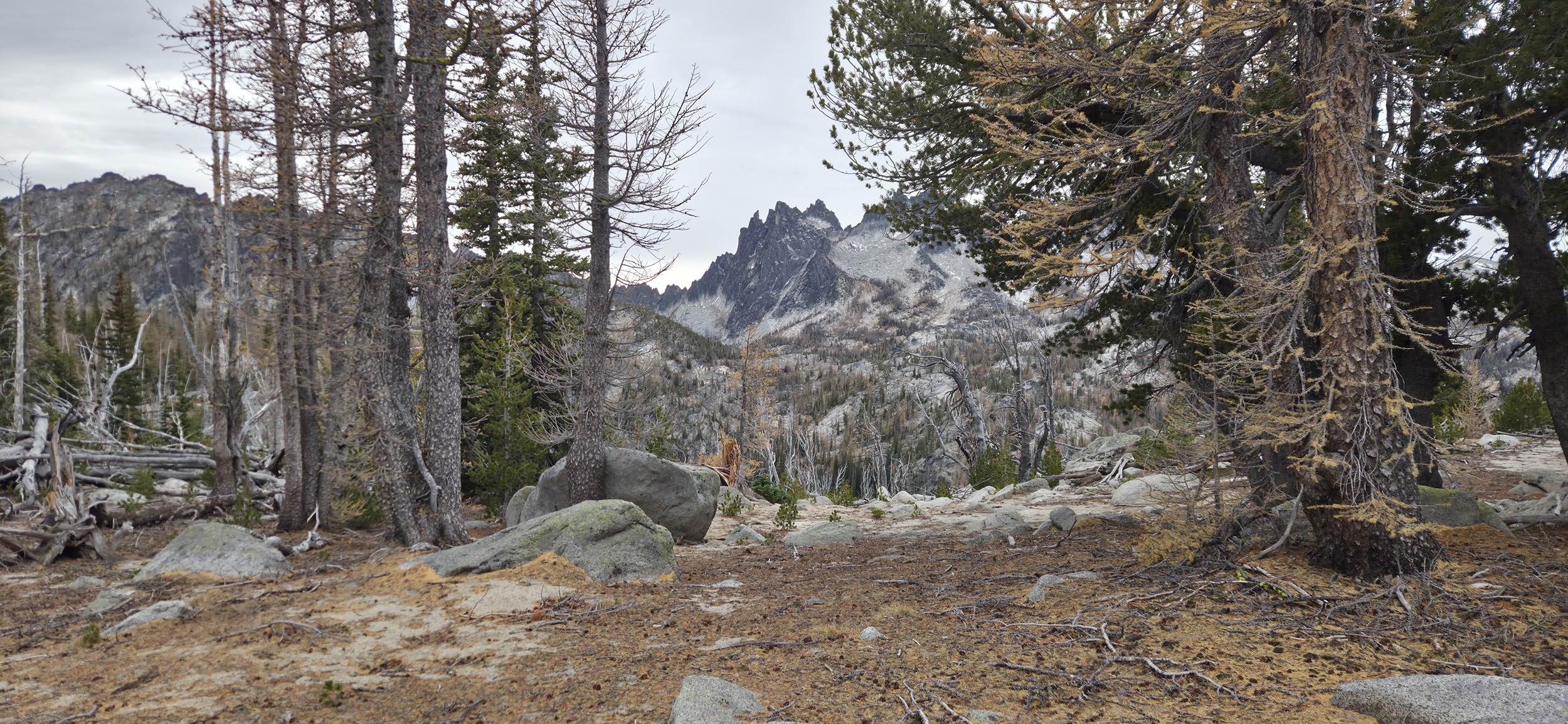
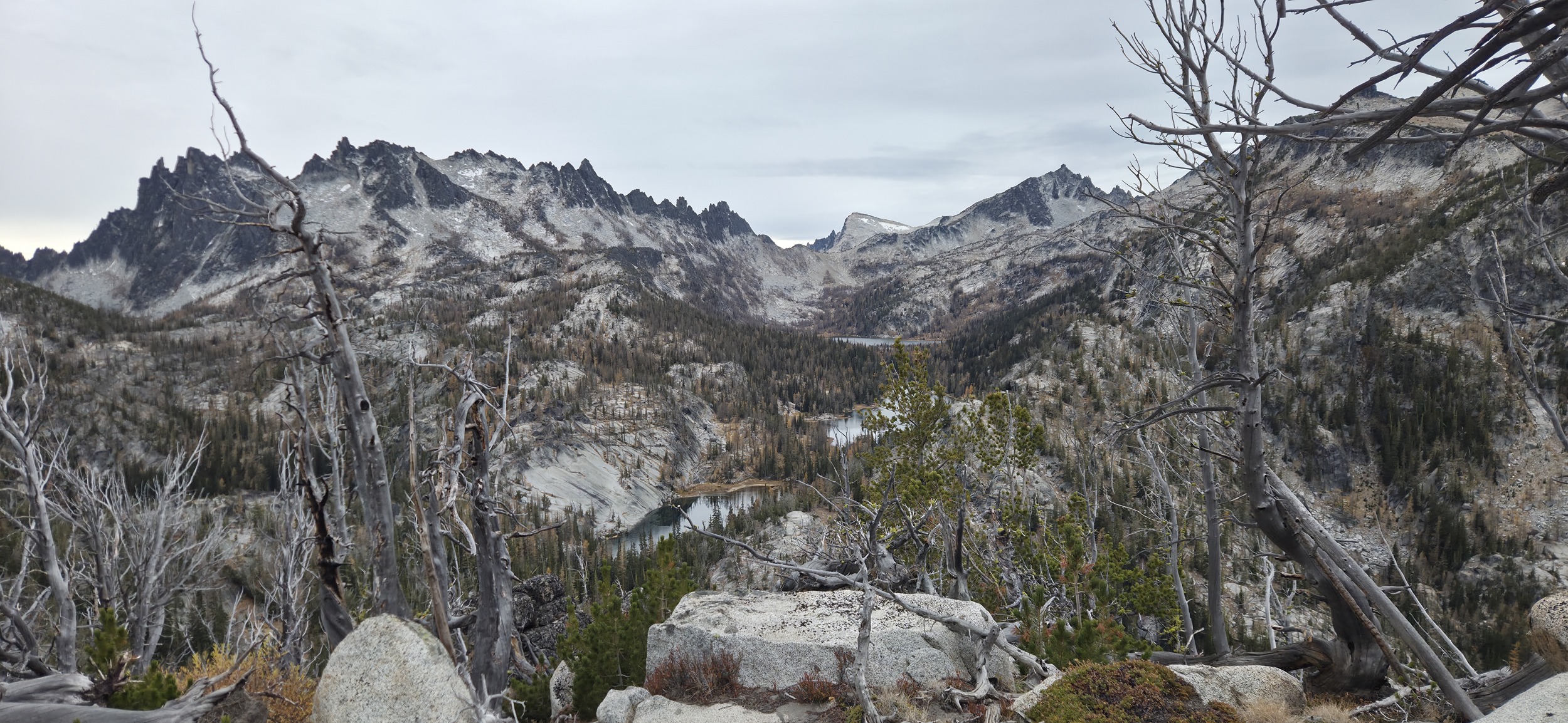
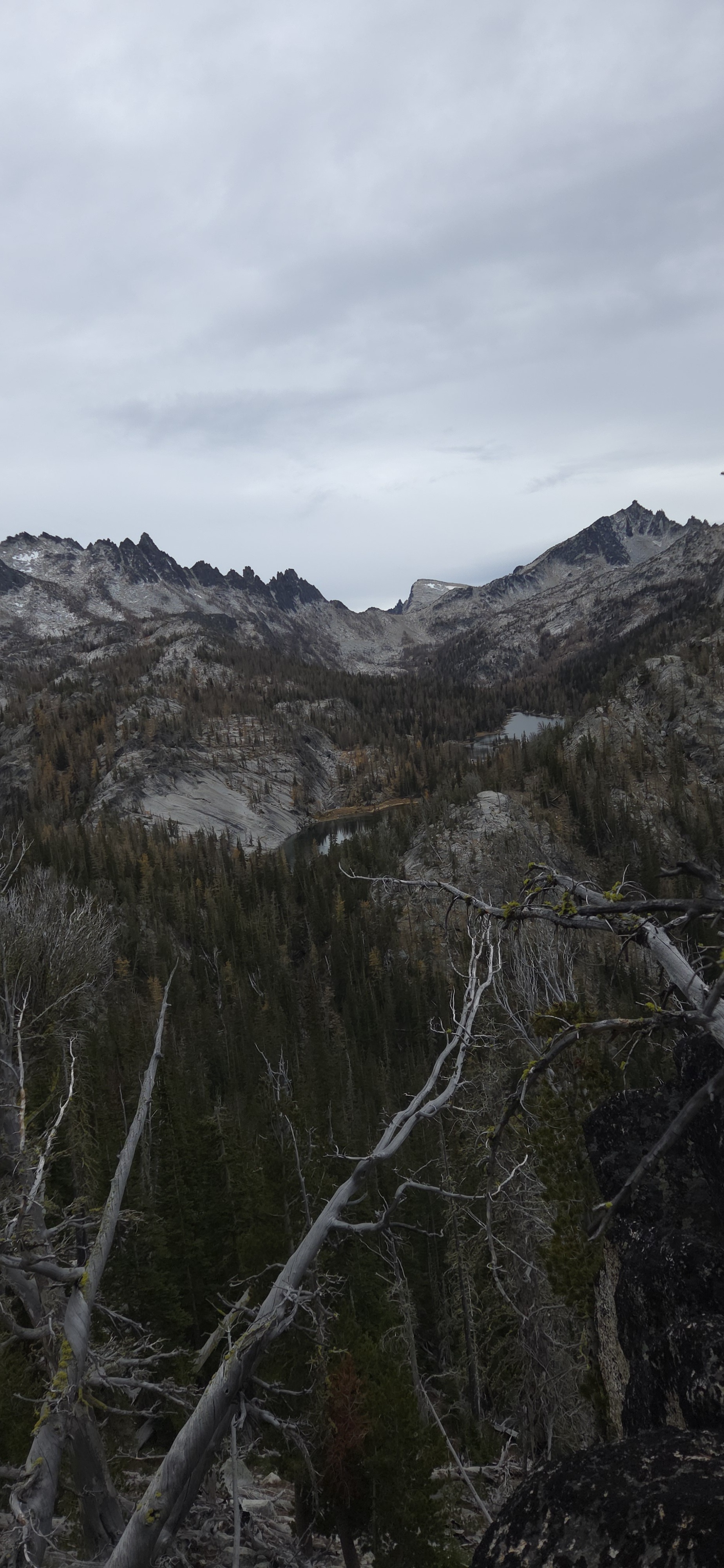
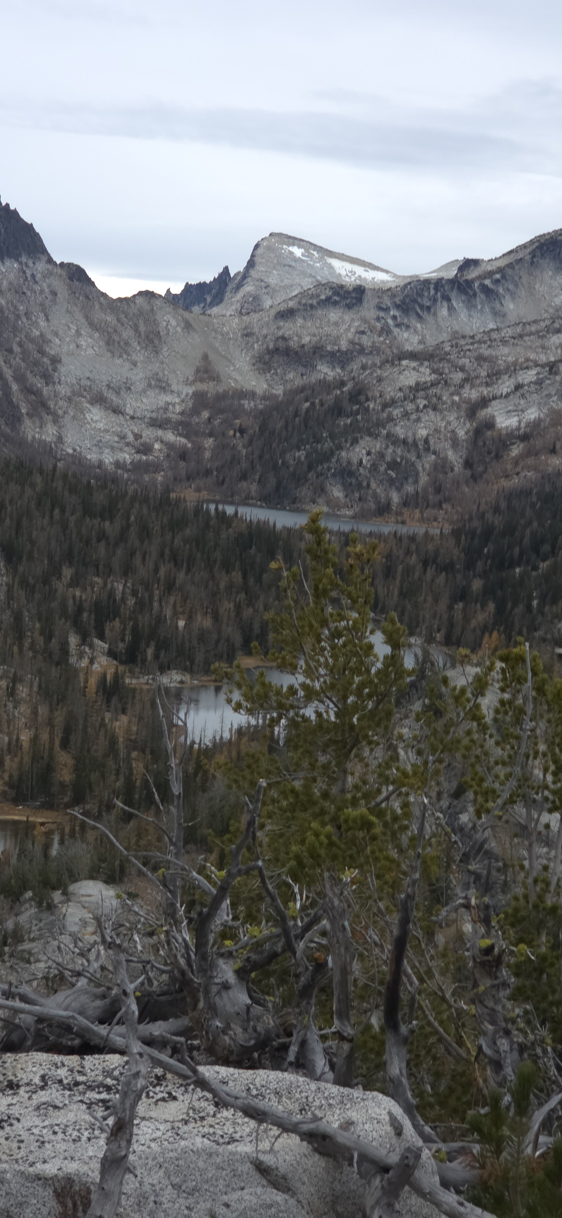
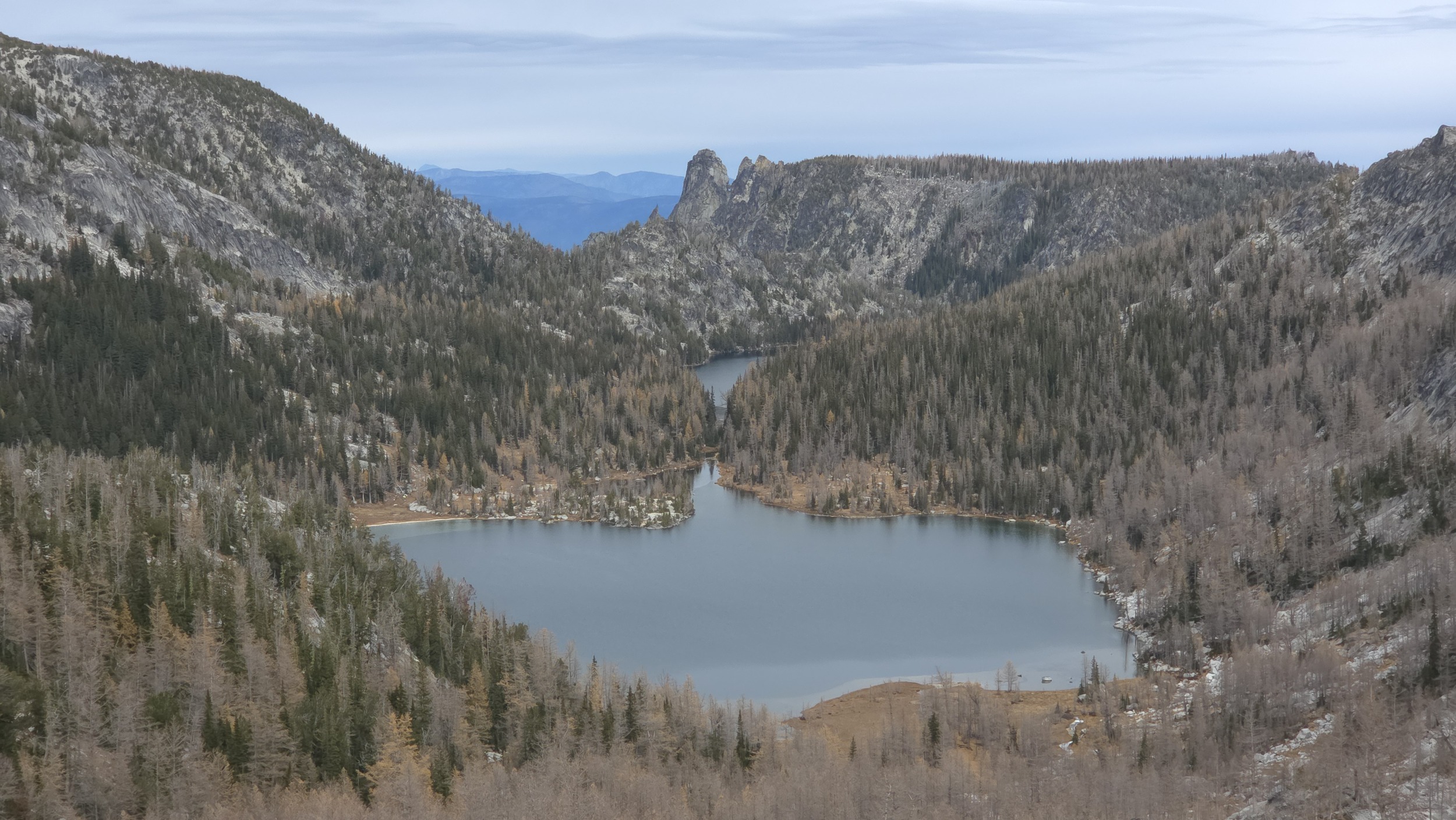
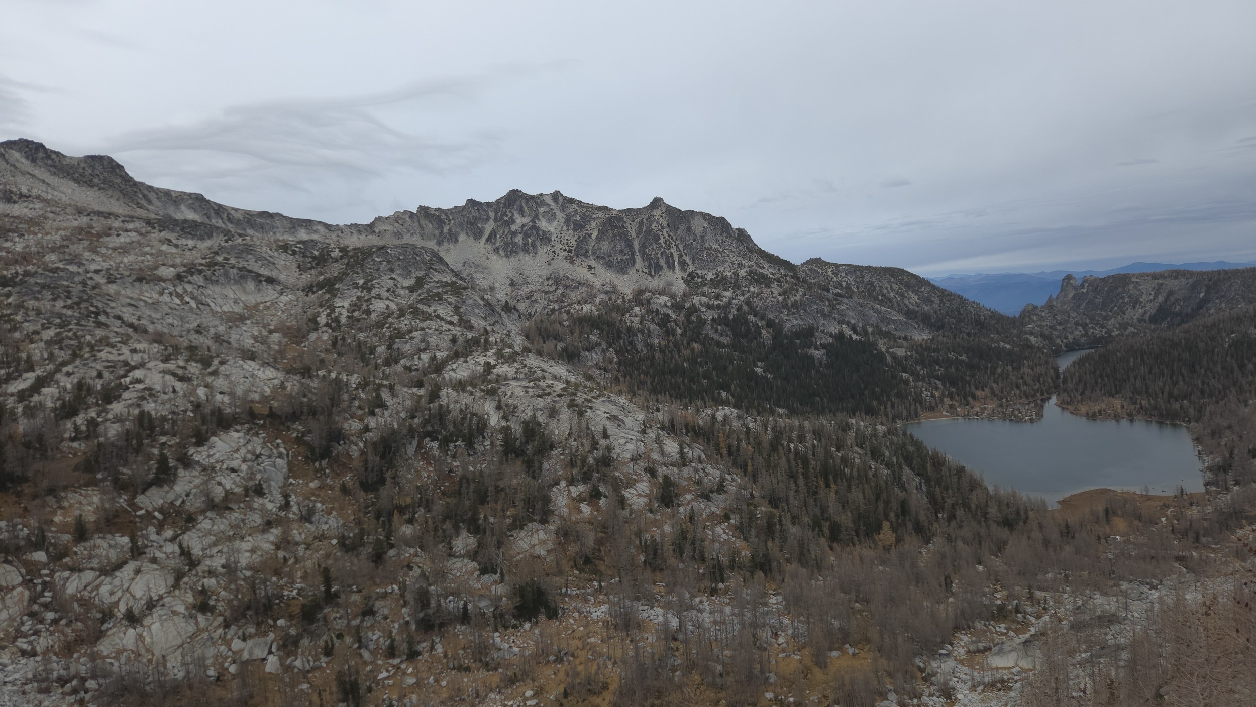
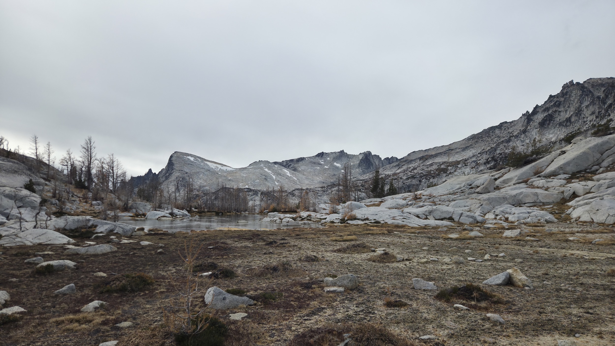
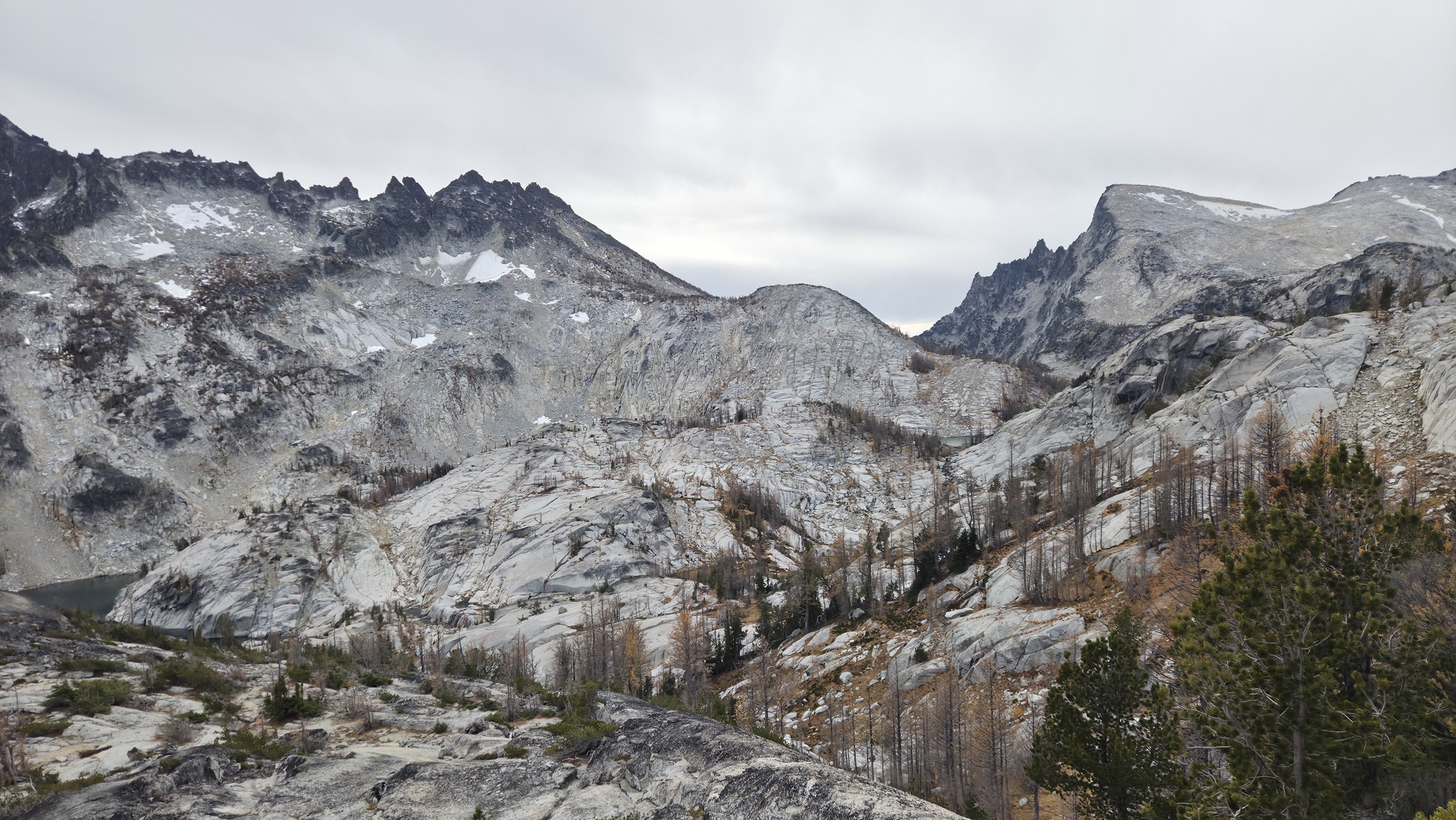
Getting the first views of the Lost Lakes. At this point I had also committed to going through and was quite surprised to see how far prusik looked away and how non trivial the travel to the first lake looked.
Lost Lakes
The route I had from someone else's trip had only partially downloaded and it had stopped loading after Edwards Mesa so I was more or less winging it from here. I ended up taking the wrong way which was following the most direct line across over to rat creek and up to the first lake. Looking at the route after the fact it looks like it is probably much easier to just continue winding east along the ridge towards the NE side of Mesa Lake. It wasn't too bad either way but I was on a bit of a time crunch with daylight and was not psyched to find myself deep in steep bush for 30 minutes or so.
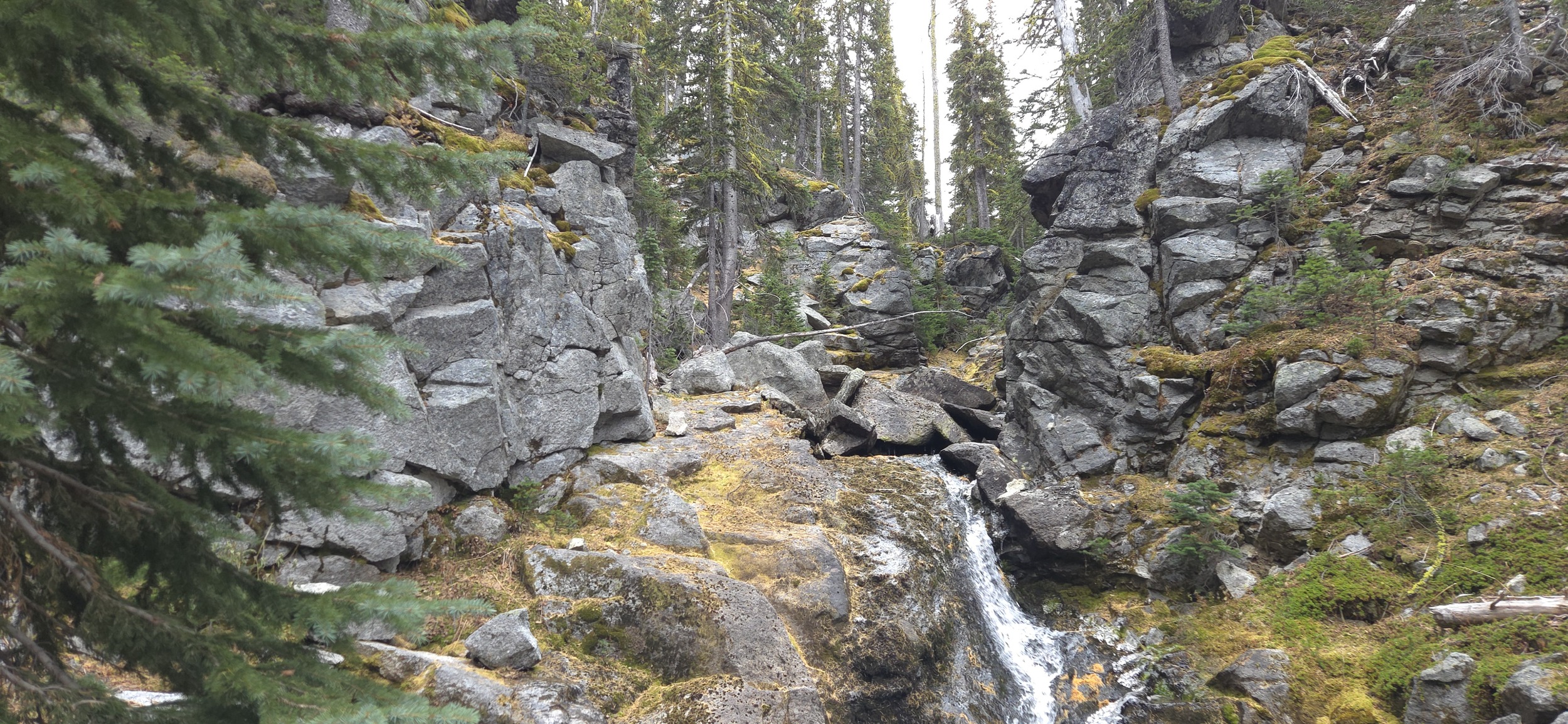
Some not advised bushwacking up Rat Creek to Mesa Lake.
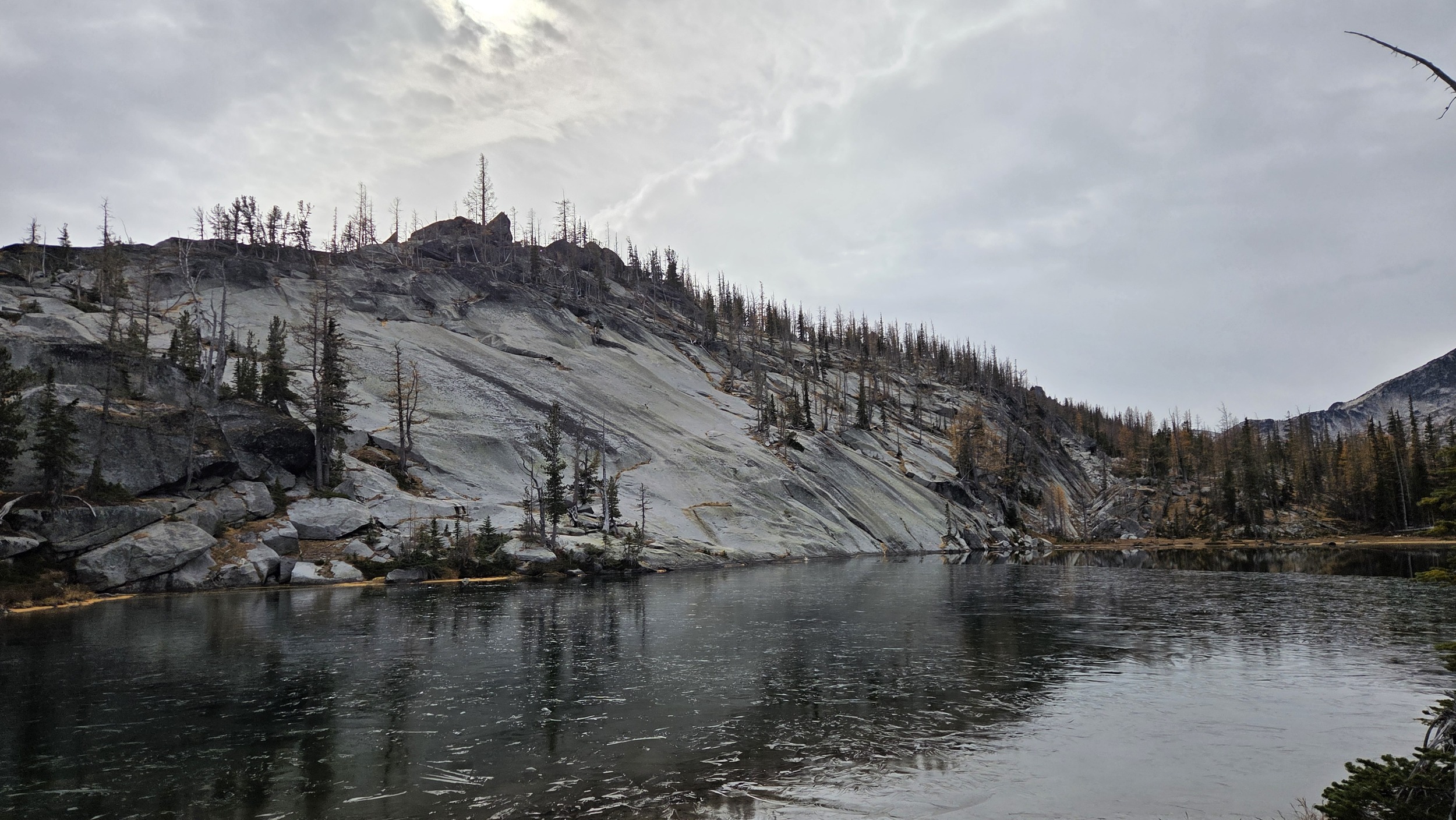
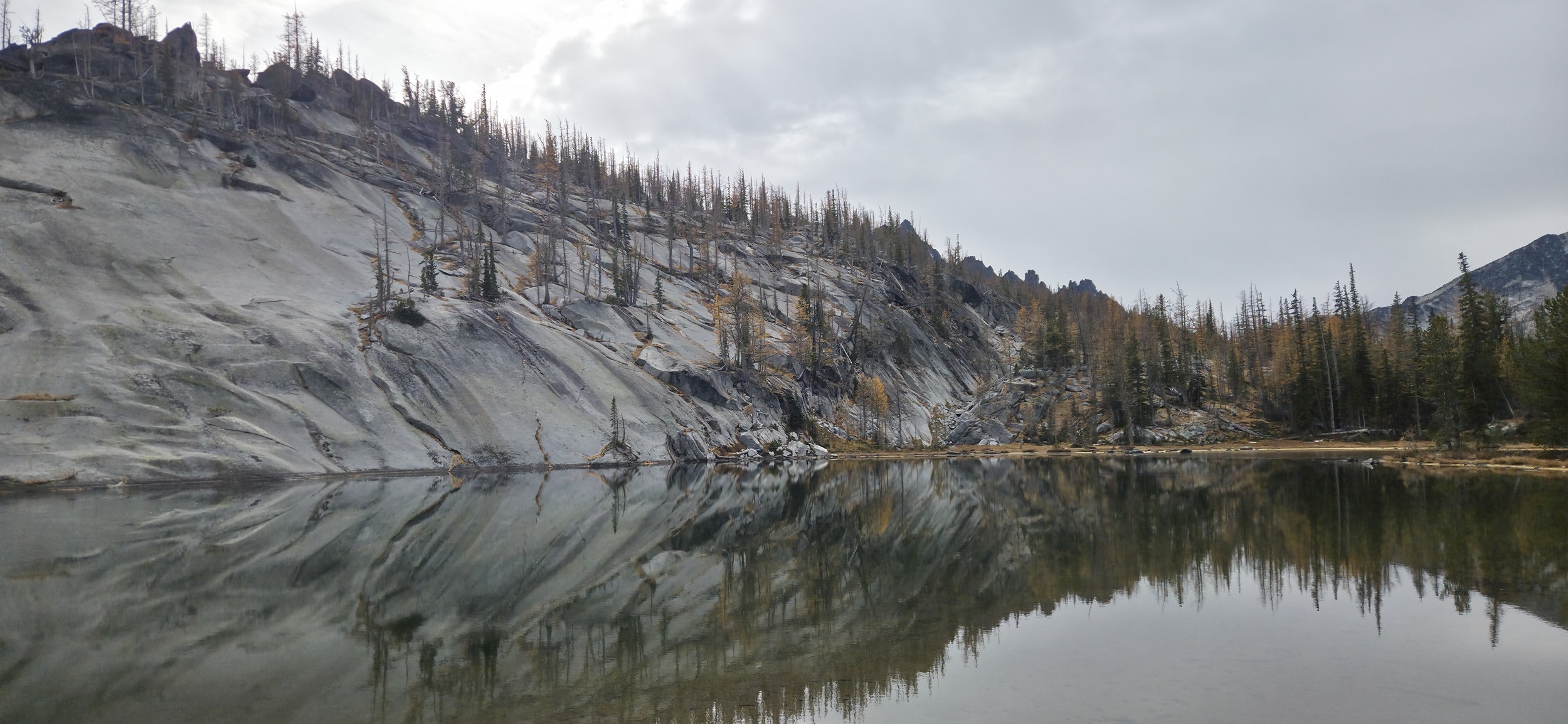
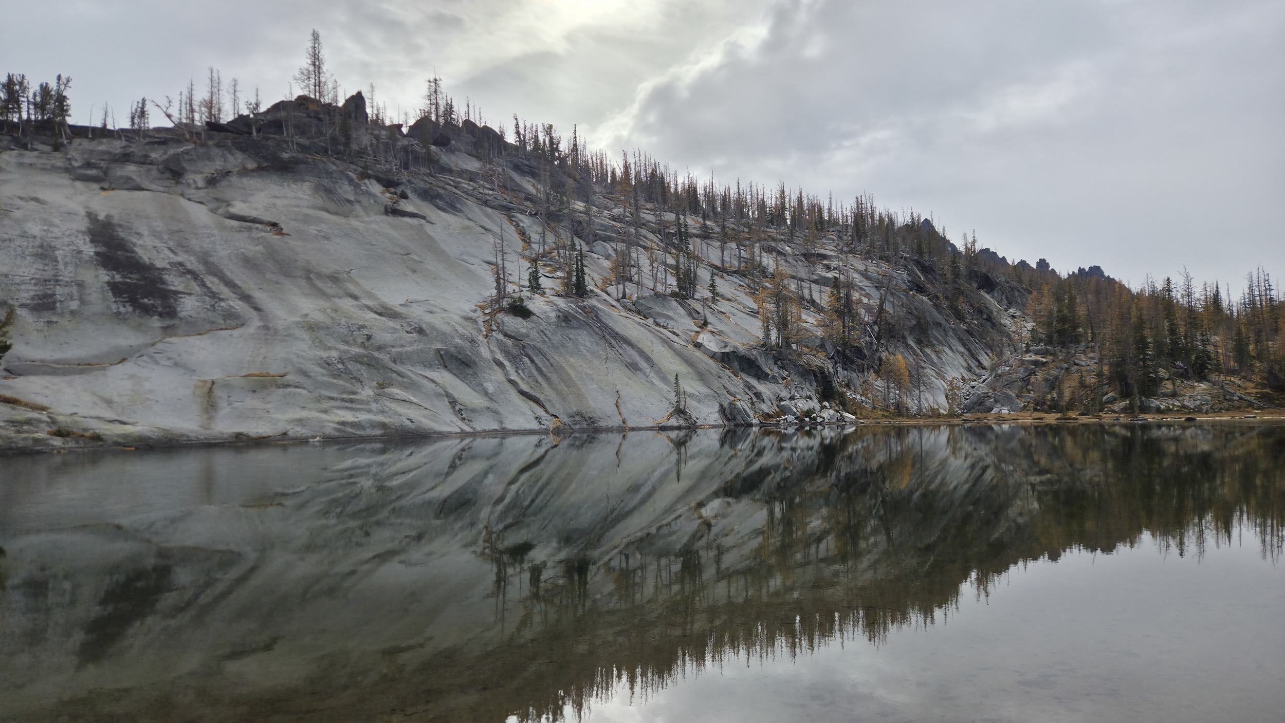
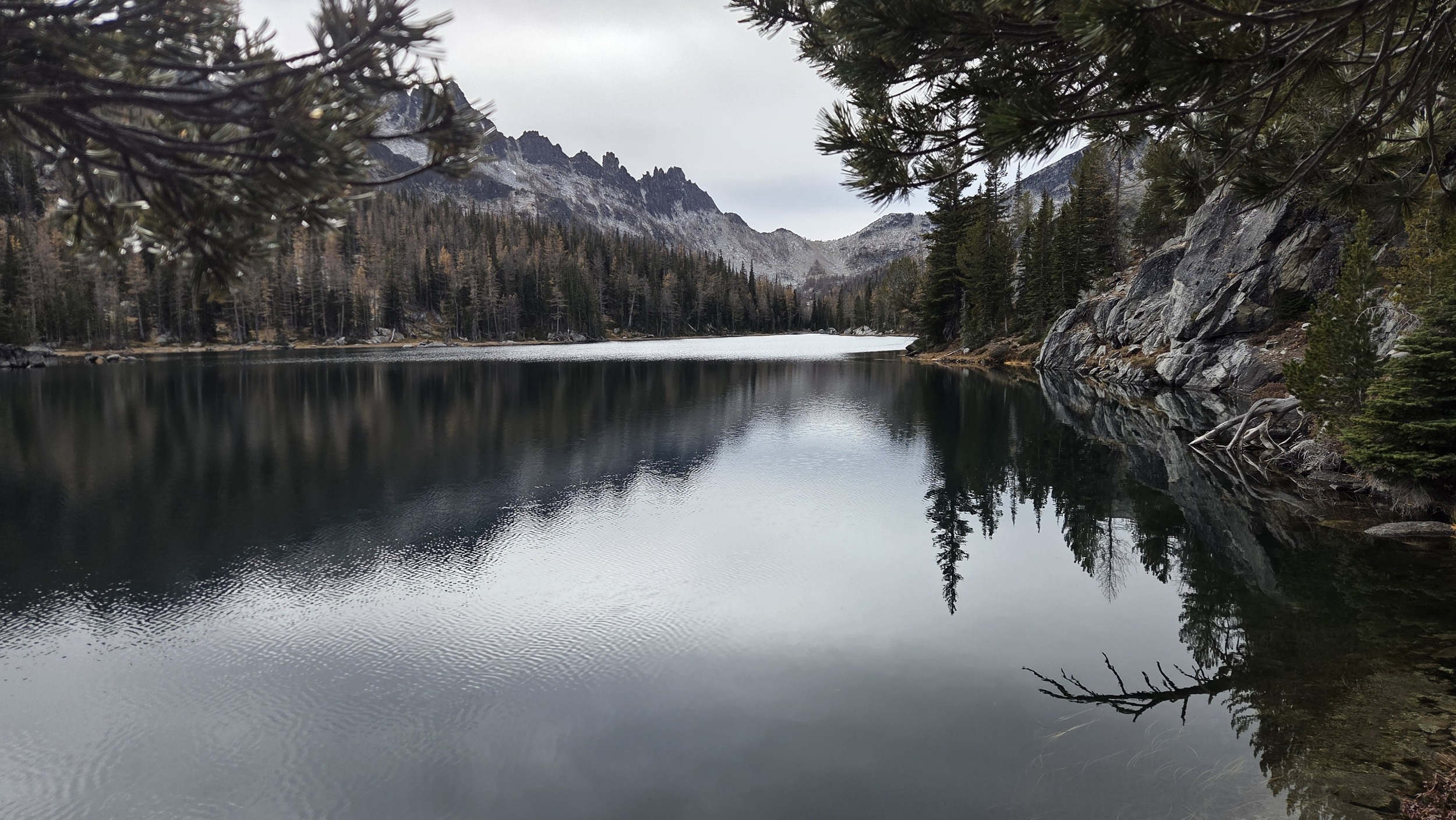
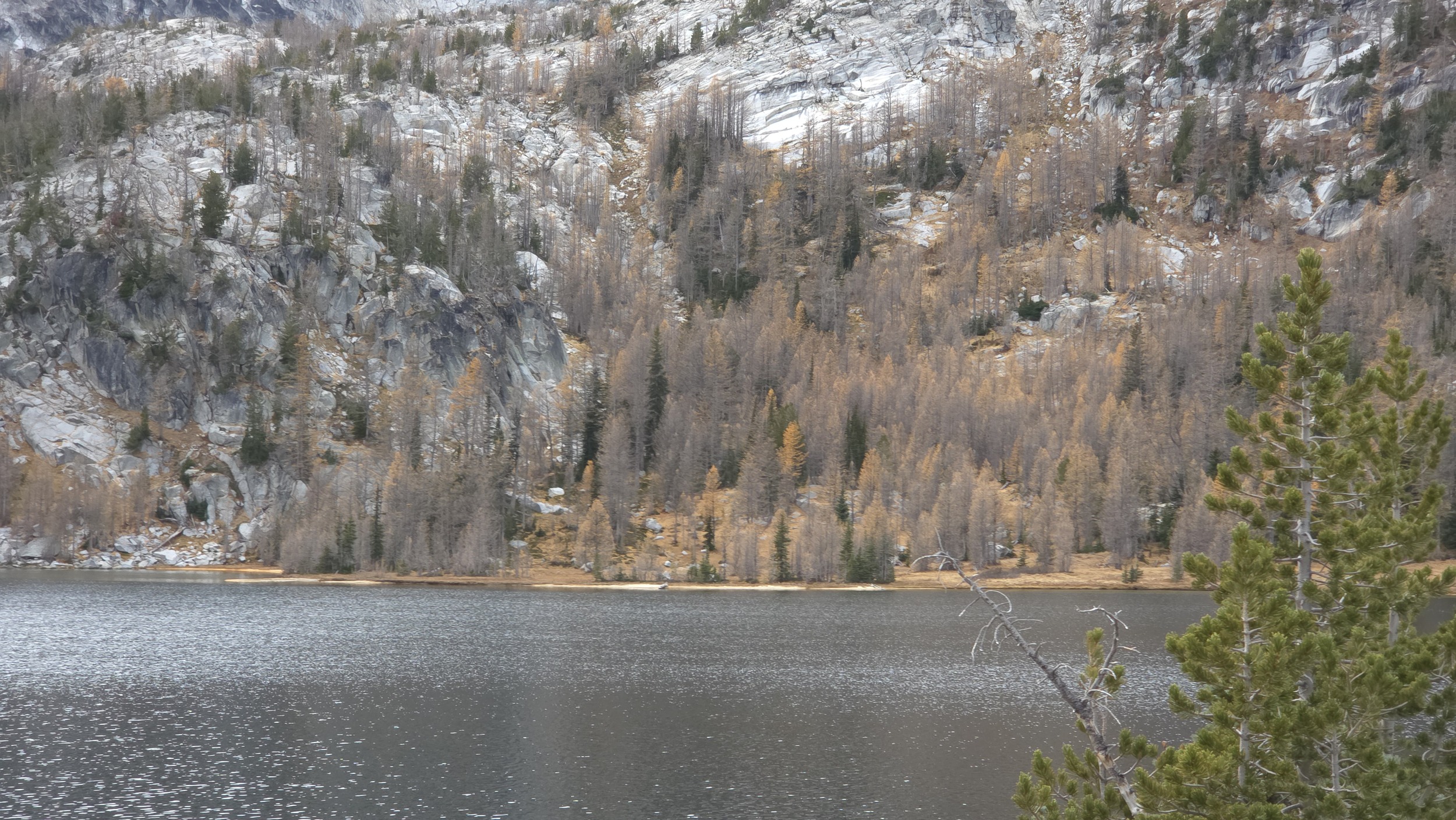
The slabs above Mesa Lake reflecting beautifully off thee still water.
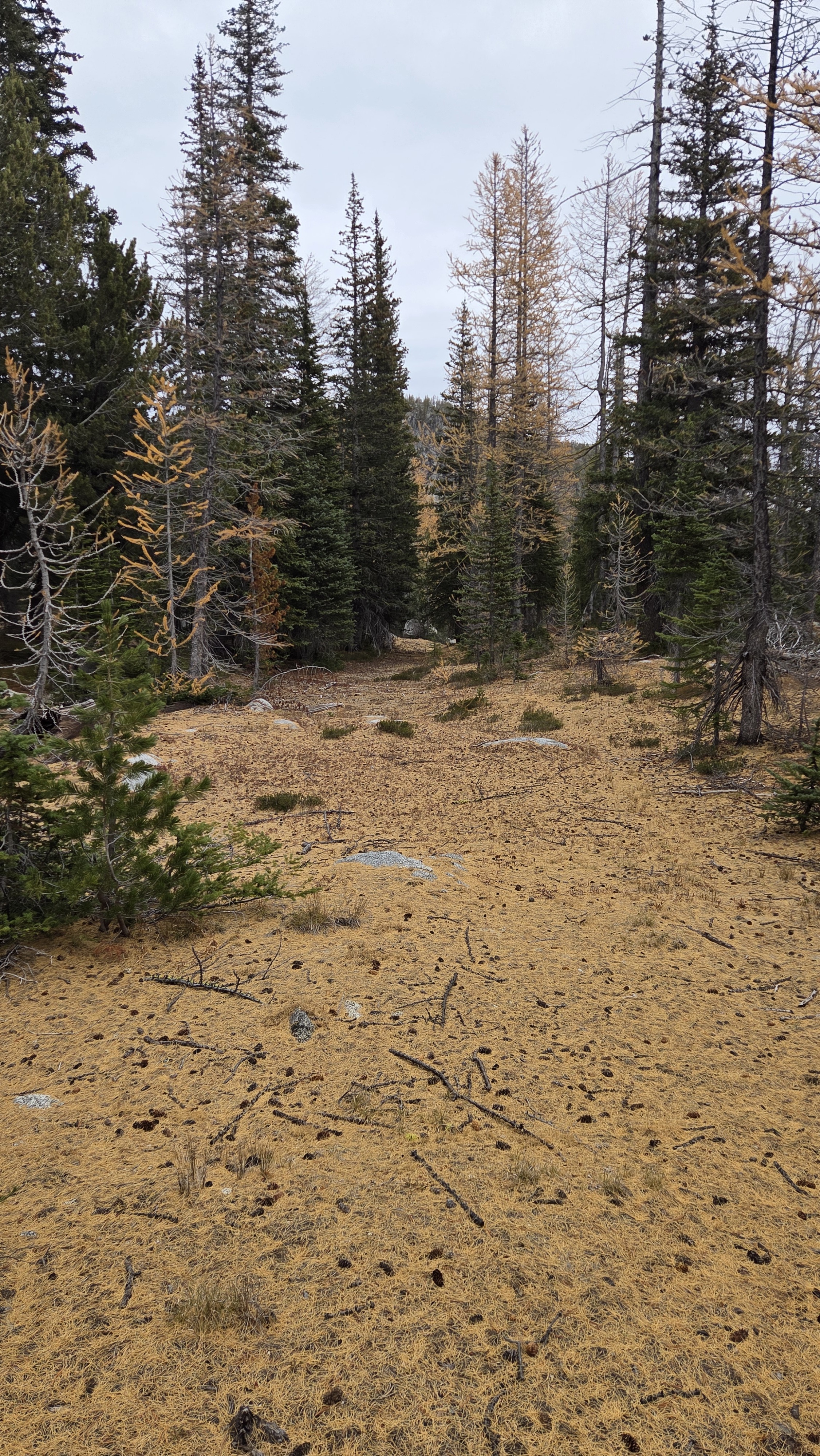
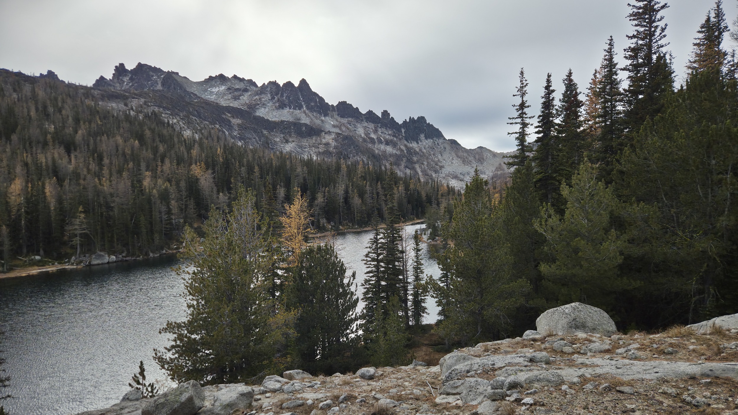
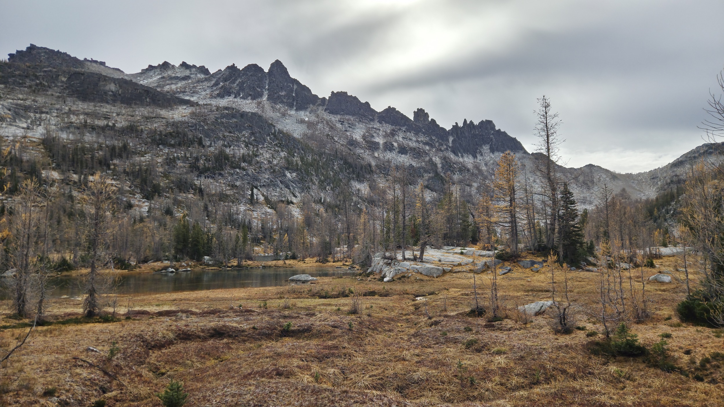
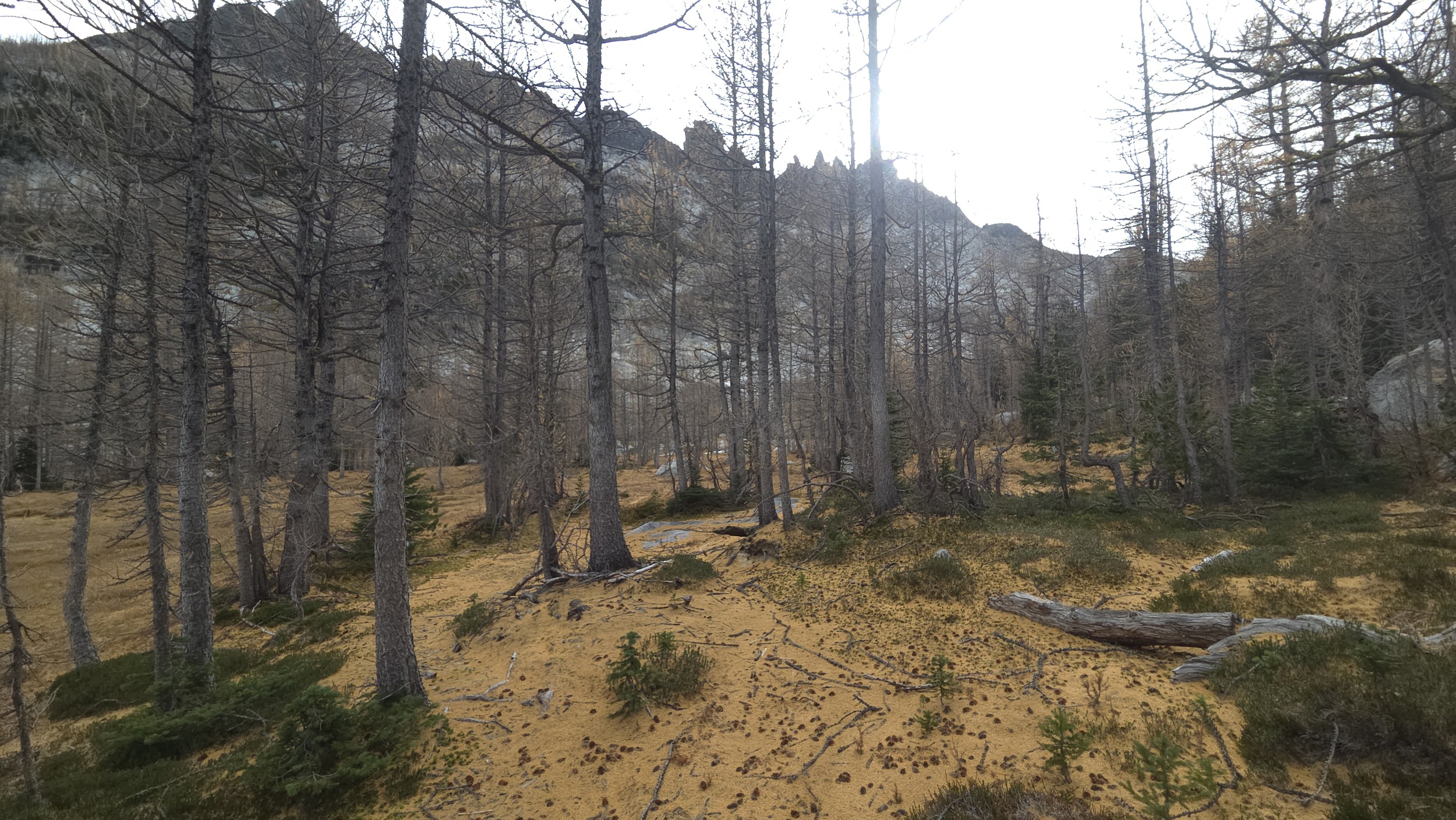
The Larches had just dropped needles so finding any path was often hard but picked up a few faint paths through the orange landscape that brought me along Rat Creek to Earle Lake.
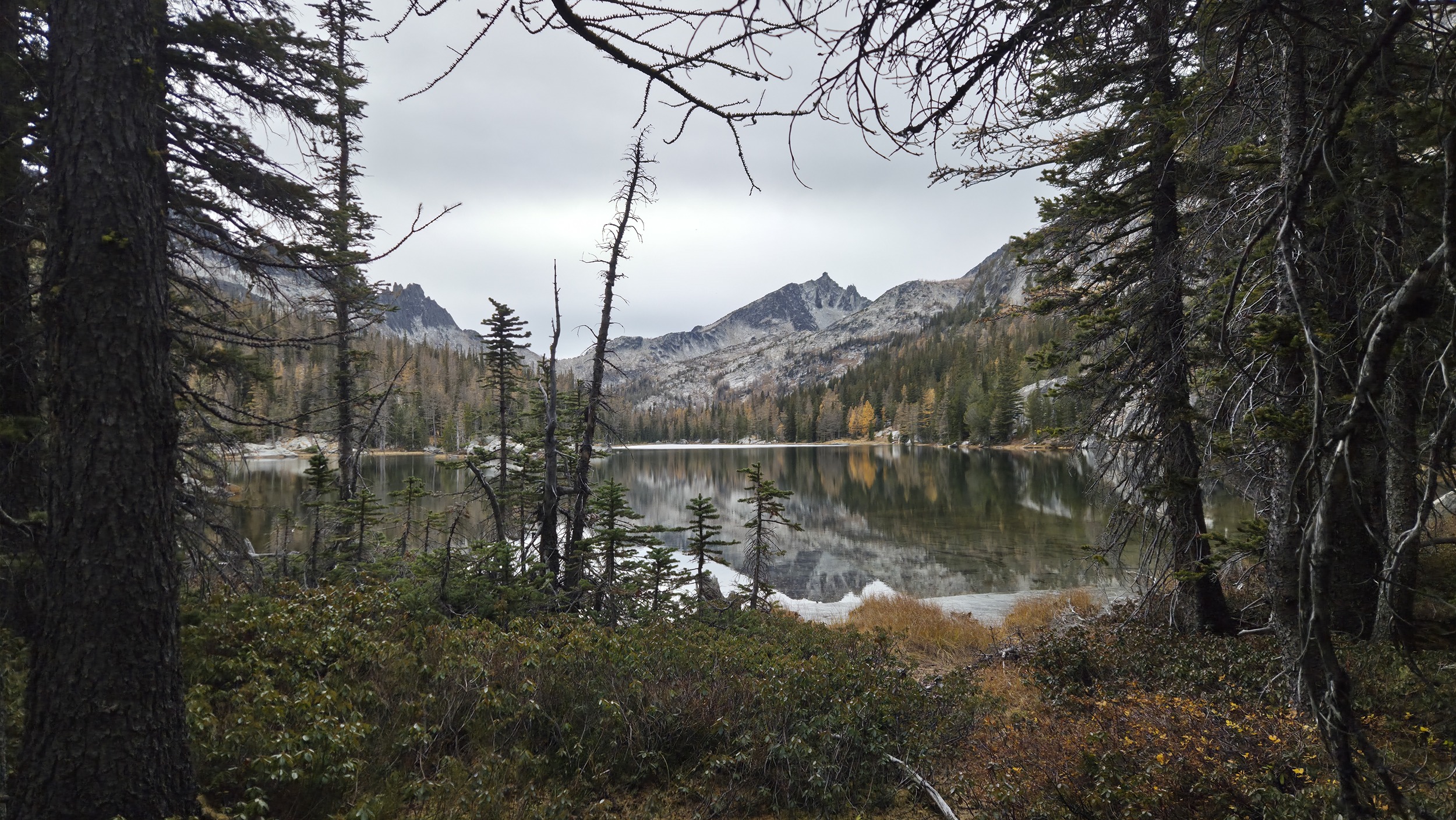
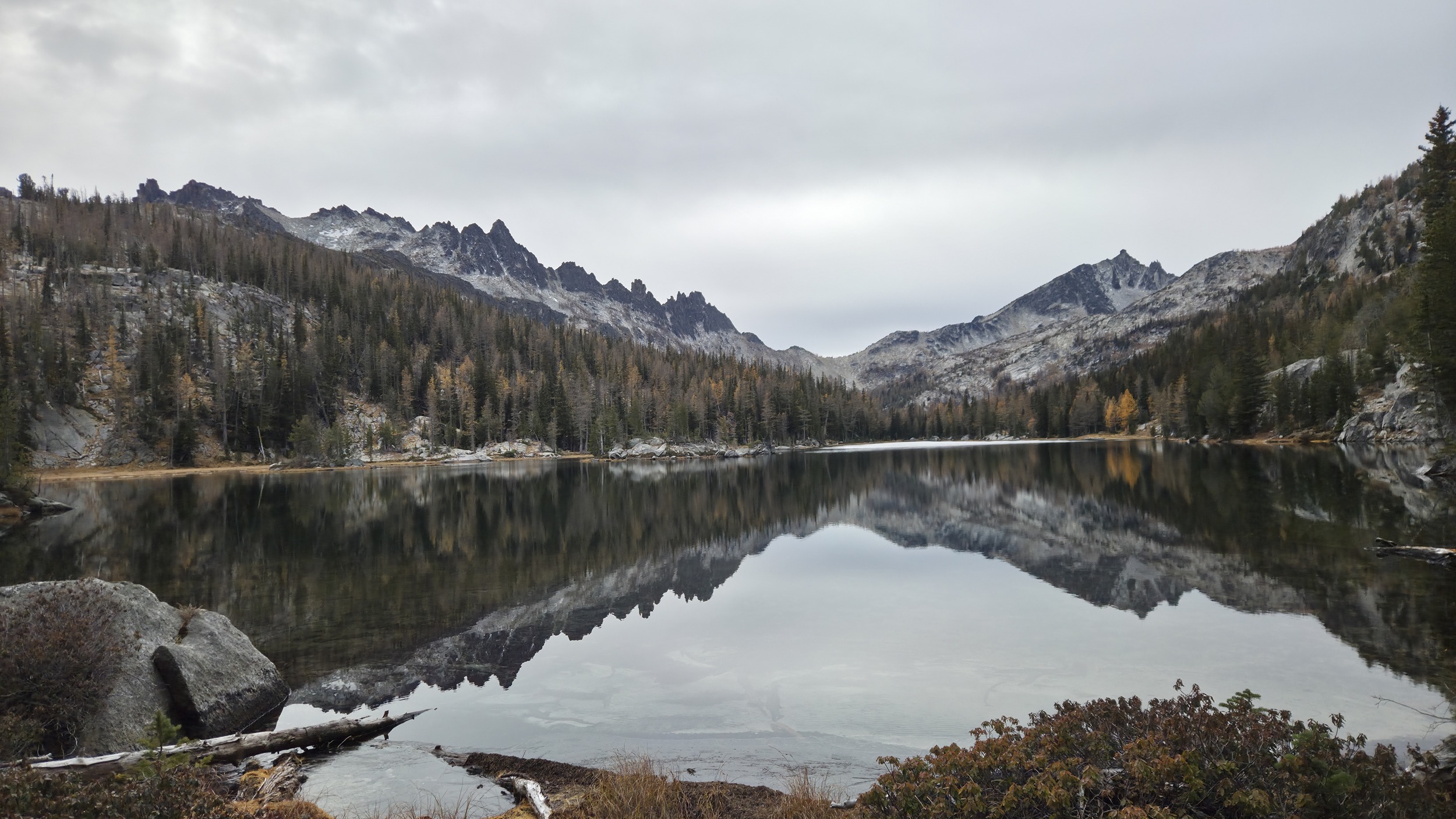
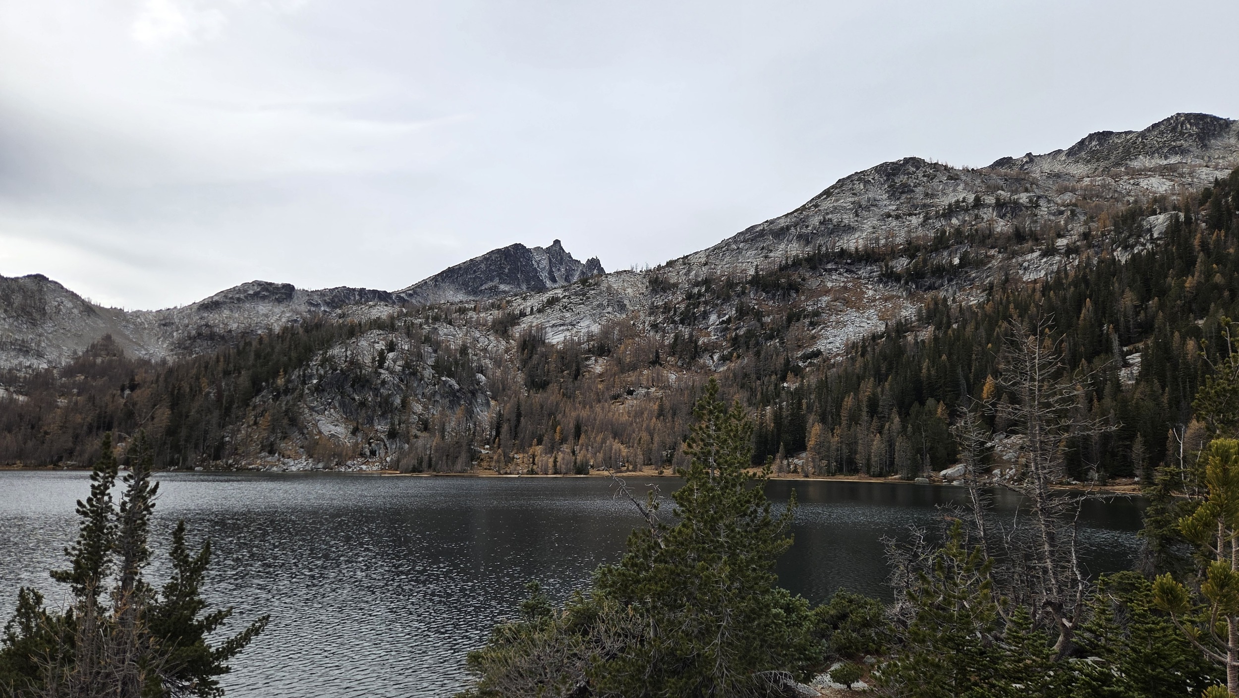
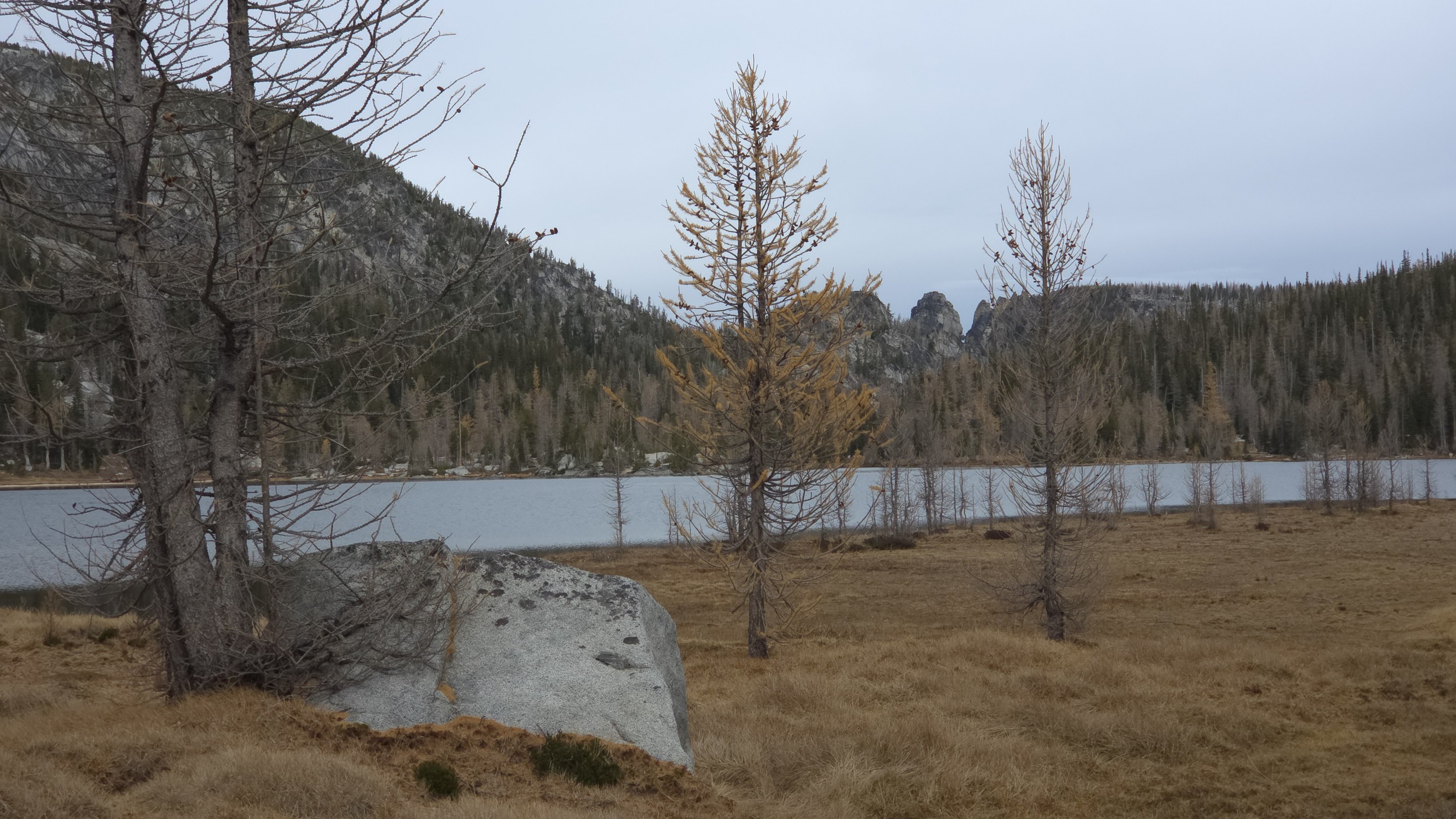
The easiest path around Earle Lake seemed to be to stay fairly high on the North side of the lake. Beautiful views of Temple. Then back on Rat Creek for a second before arriving at Shield Lake which is the last of the 3 lakes sitting below the backside of Prusik Peak.
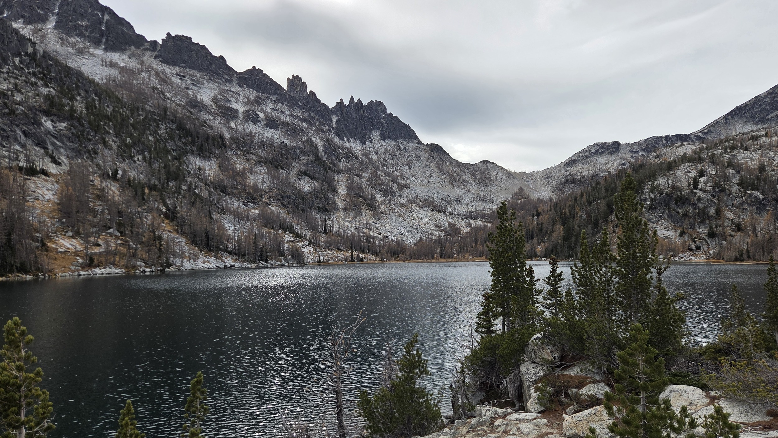
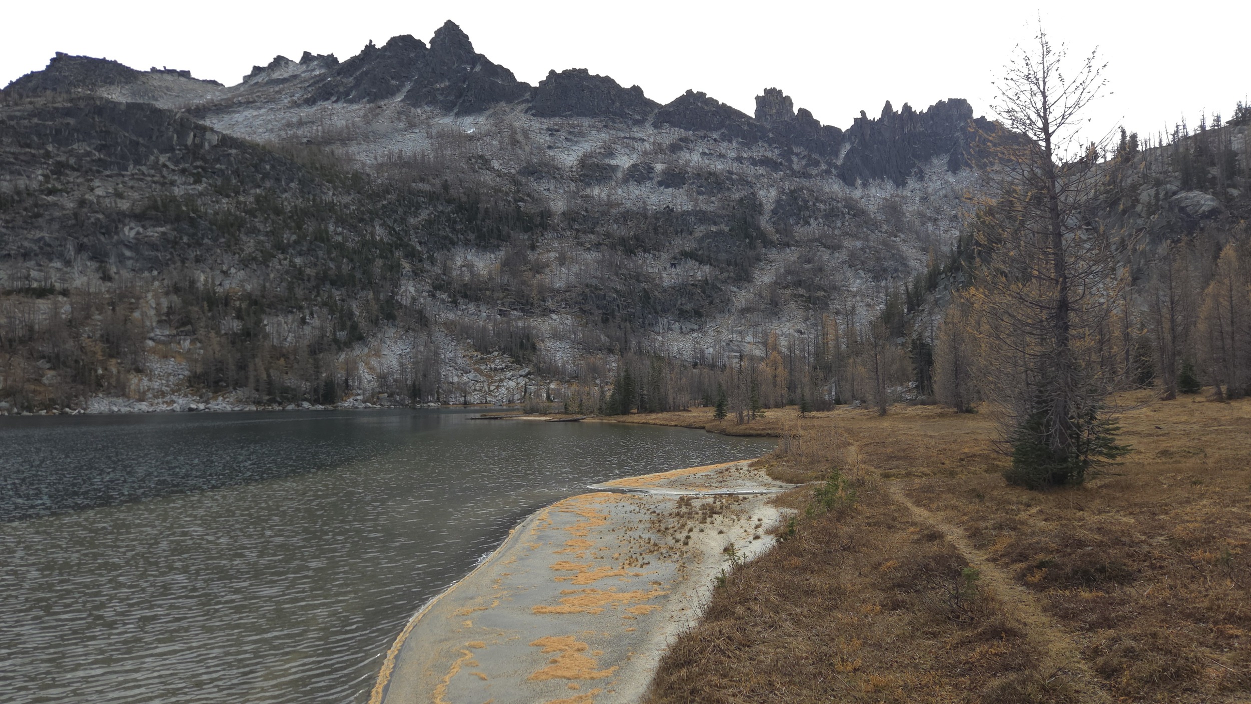
Looking across Shield Lake at Prusik Peak and the pass (Prusik Pass) that I would take to get over onto the main enchantments trail.
Shield Lake
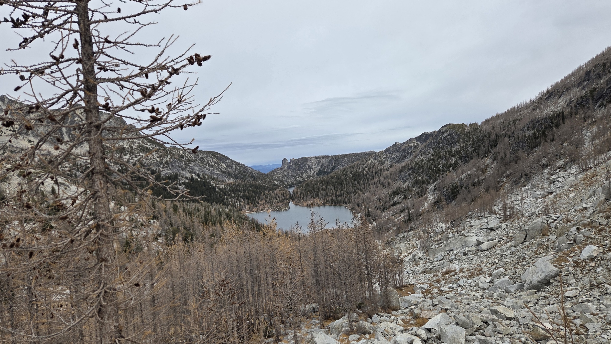
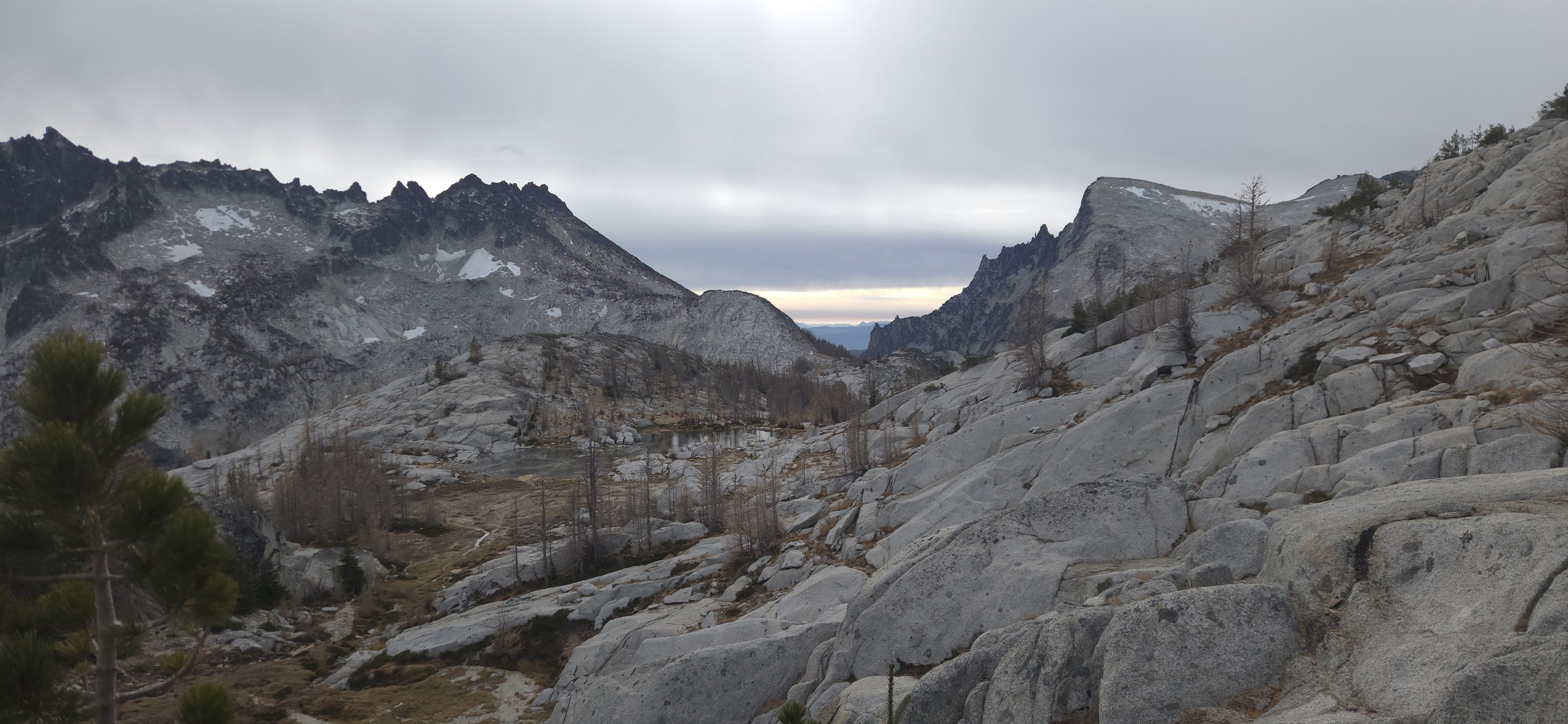
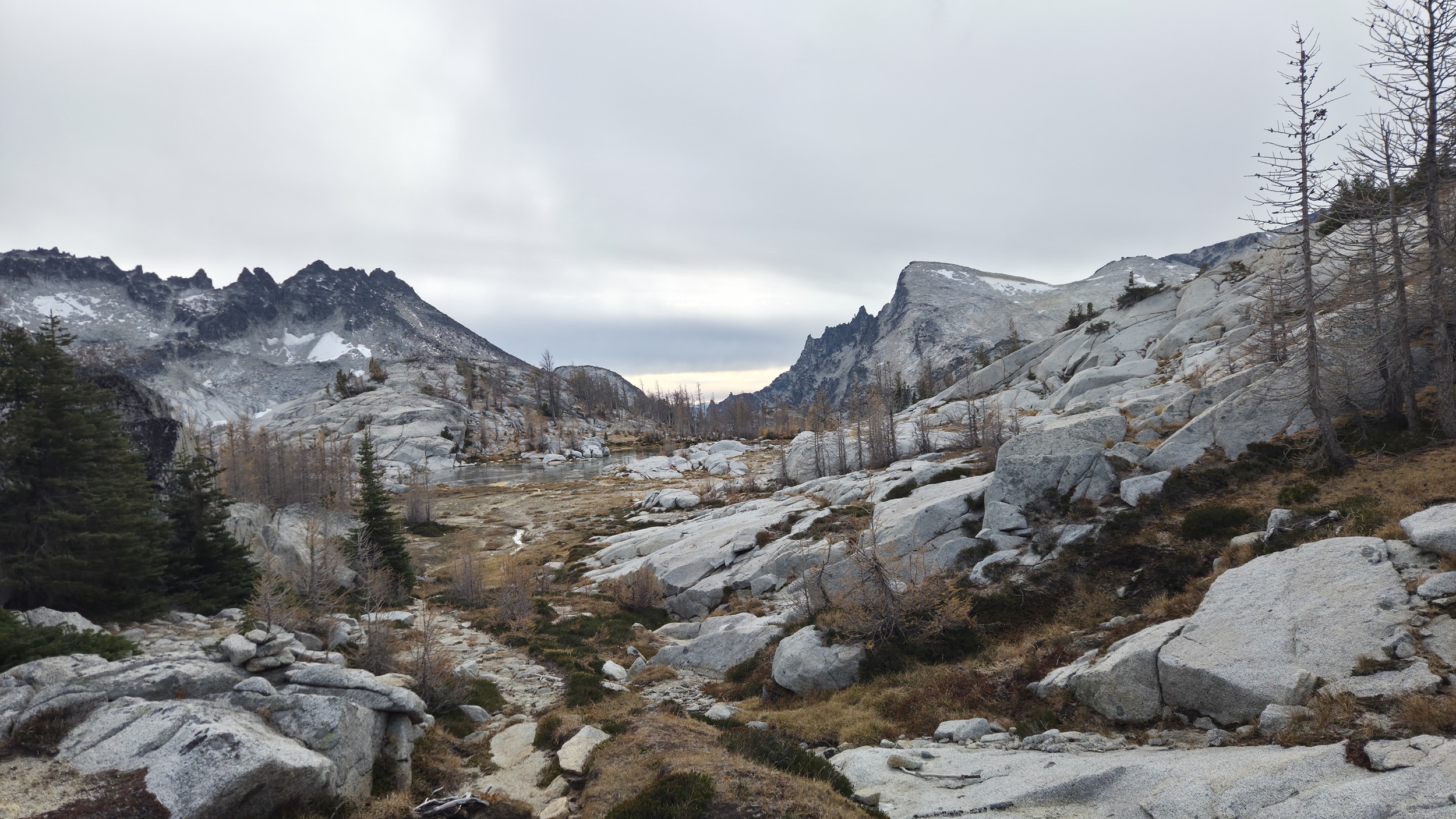
Up to Prusik Pass with great views looking back at the Lost Lakes.
Up the steep to Prusik Pass, popping over to beautiful views of the Enchantments core.
Enchantments Core
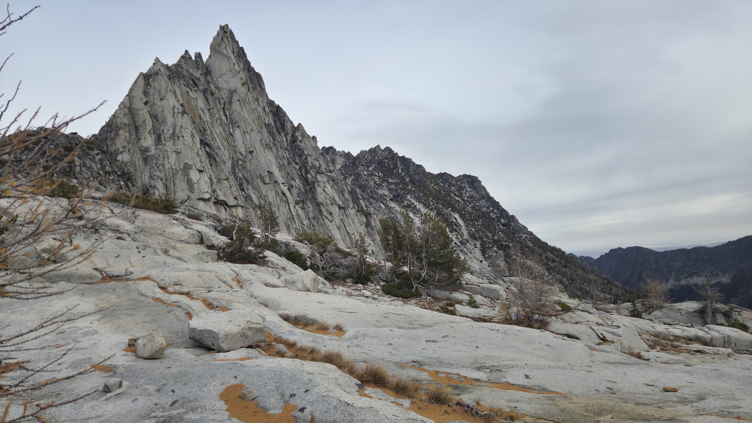
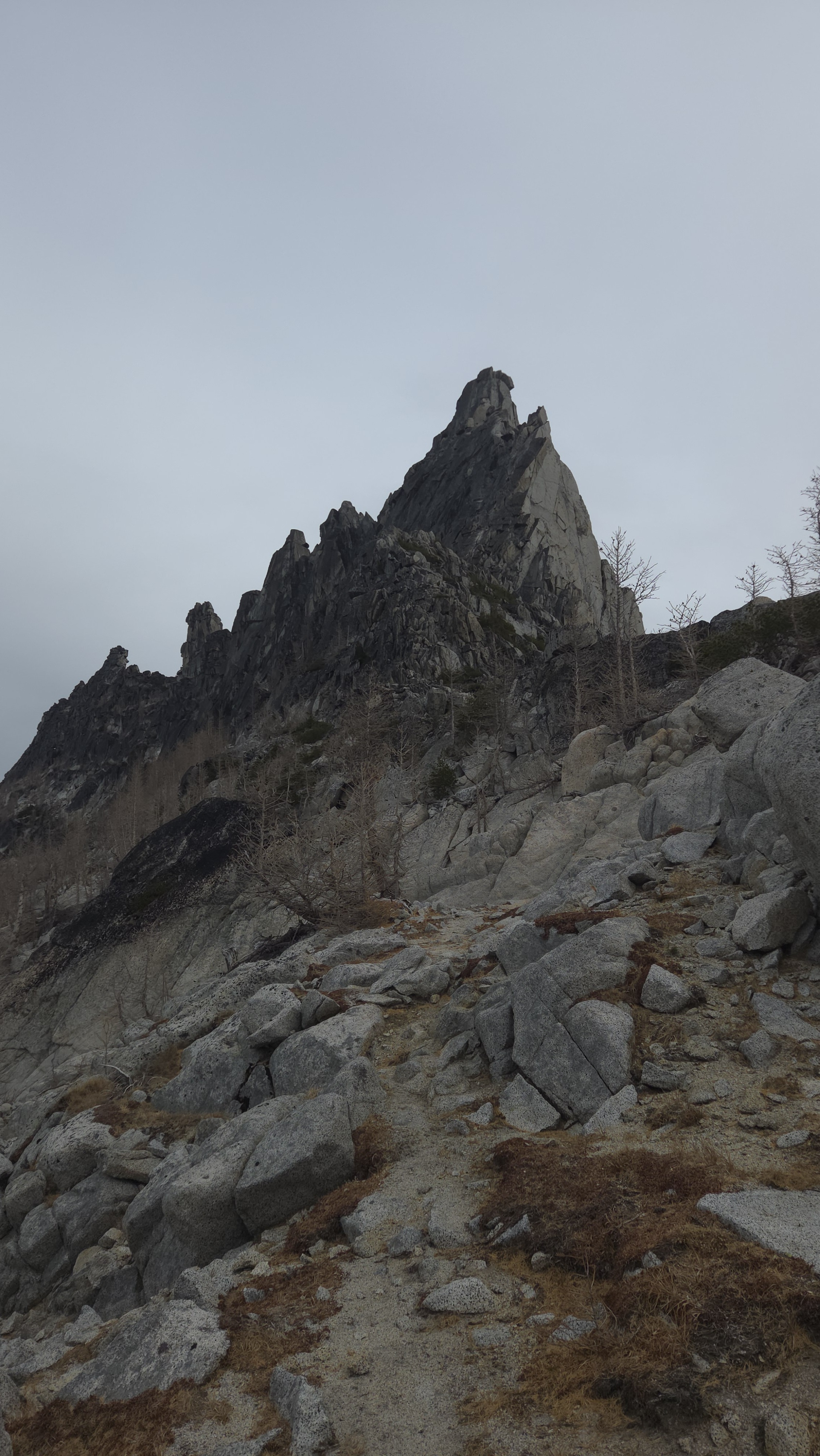
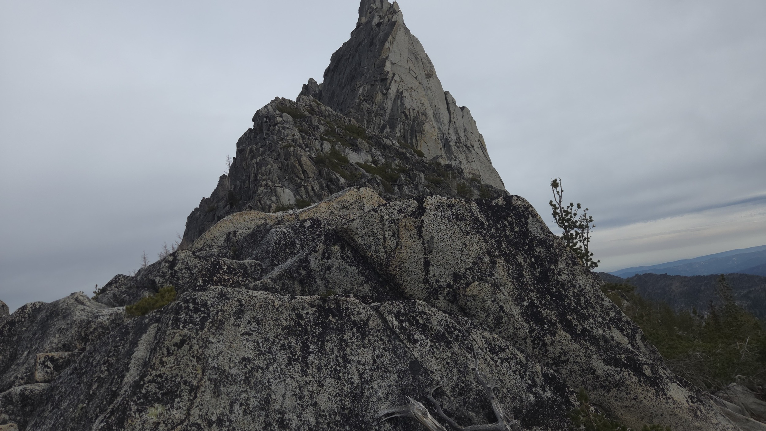
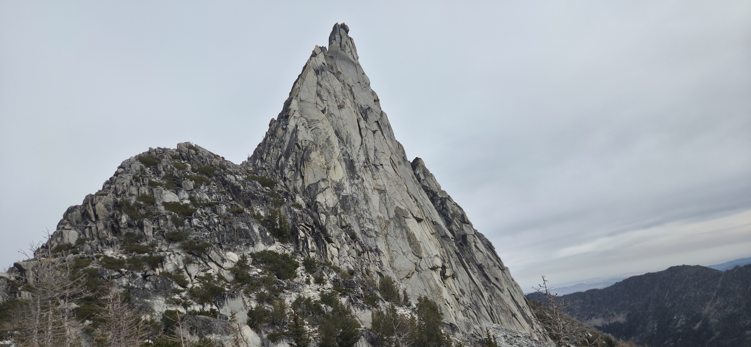
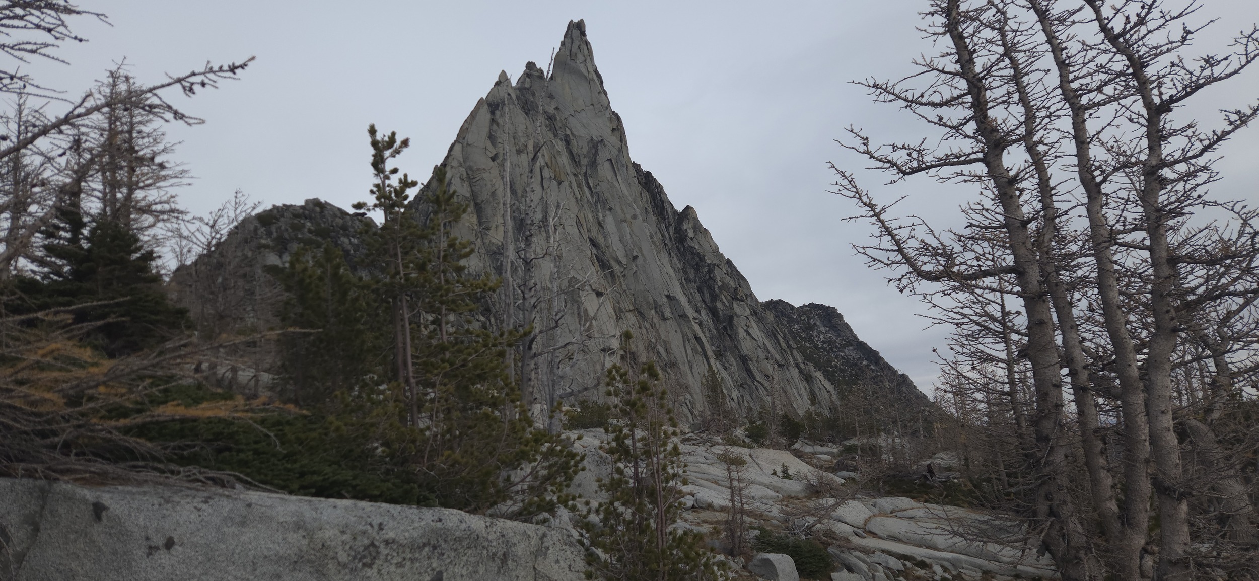
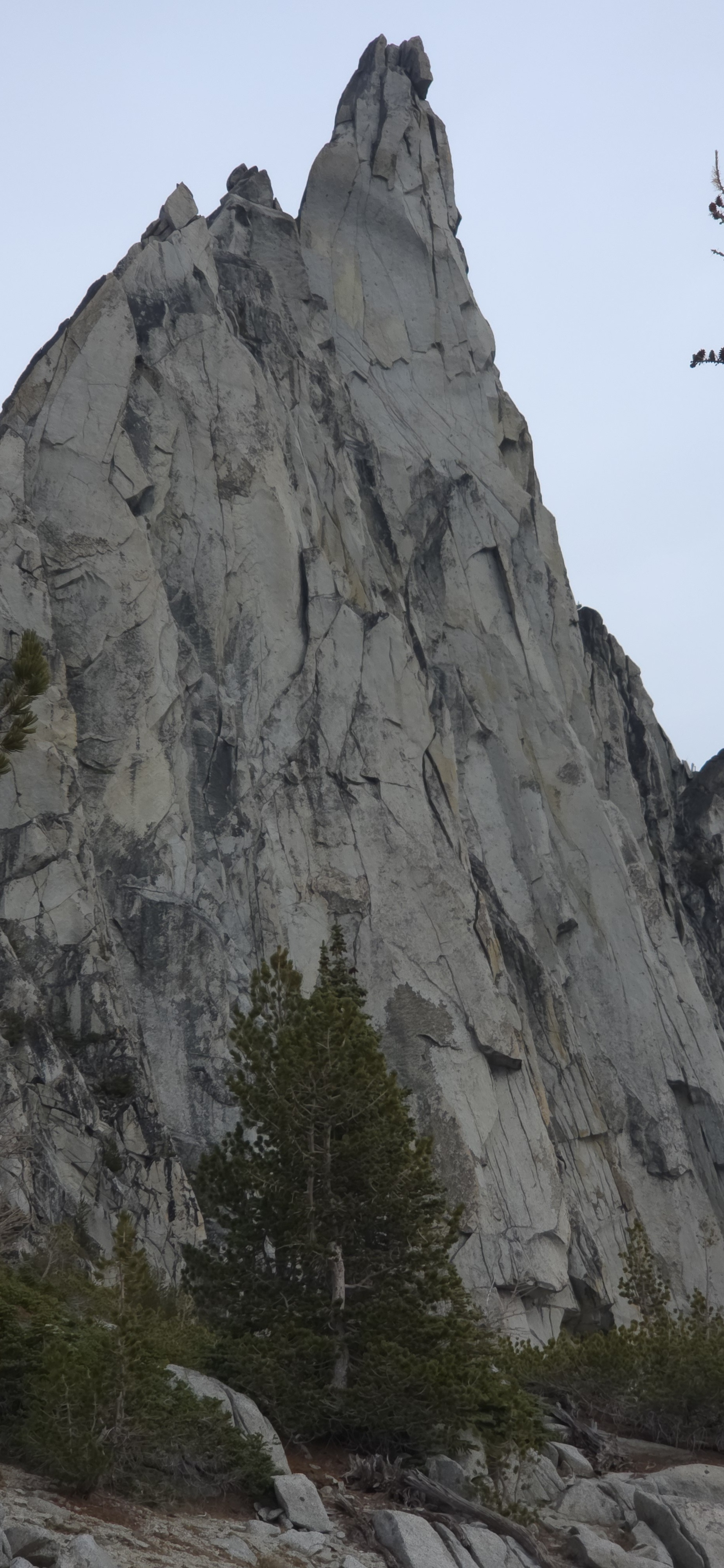
Prusik!
More Prusik!
Looking over the Gnome Tarn, a small pool of water sitting under Prusik with a beautiful view of Mclellan and Little Annapurna.
Beautiful slabs down to Leprechaun lake and then down to Lake Vivian, the last lake before dropping down to Snow Lake which is always a bit of a sad moment as it marks the start of the long slog out.
Out Snow Lakes
Looking down at Snow Lake with South Wedge Mountain in the background.
Fall colors all around Snow Creek Wall!
Final bit of the hike down Snow Creek to the parking area. Made it just in time to not need a headlamp and got super lucky hitching a ride back to my car with the first car that passed!
Full route, 16.88 miles, +6962'-7267' vert, and the highest point 7450ft. 9:30 minutes, made it back just in time to not need a headlamp, the days are getting short :/